Santo Domingo de los Olleros: Adventure Sports and Tourism 2026
Santo Domingo de los Olleros is one of the 32 districts in the Lima province of Huarochirí. It has 2 well-defined areas, both coastal and mountainous, and it also borders Metropolitan Lima, making access quick and easy. This district is known for being a major producer of prickly pears (with over 50 kilometers of prick...
Key facts about Santo Domingo de los Olleros
| Ubicación | huarochirí, Lima |
|---|---|
| Altitud | 1200.50 m.s.n.m. |
| Clima | Templado |
| Mejor época | Abril a Octubre (temporada seca) |
| Región natural | Sierra |
Santo Domingo de los Olleros is one of the 32 districts in the Lima province of Huarochirí. It has 2 well-defined areas, both coastal and mountainous, and it also borders Metropolitan Lima, making access quick and easy.
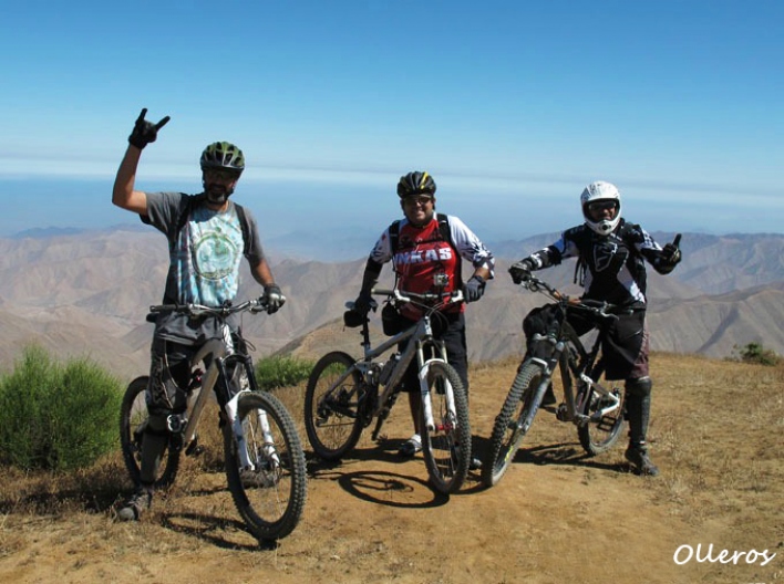
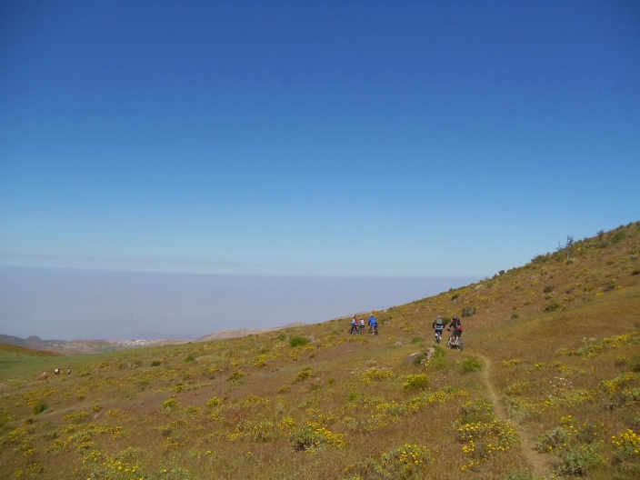
This district is known for being a major producer of prickly pears (with over 50 kilometers of prickly pear plantations). In addition to this and its majestic landscapes, Santo Domingo de los Olleros boasts one of the best mountain biking routes in Lima.
History
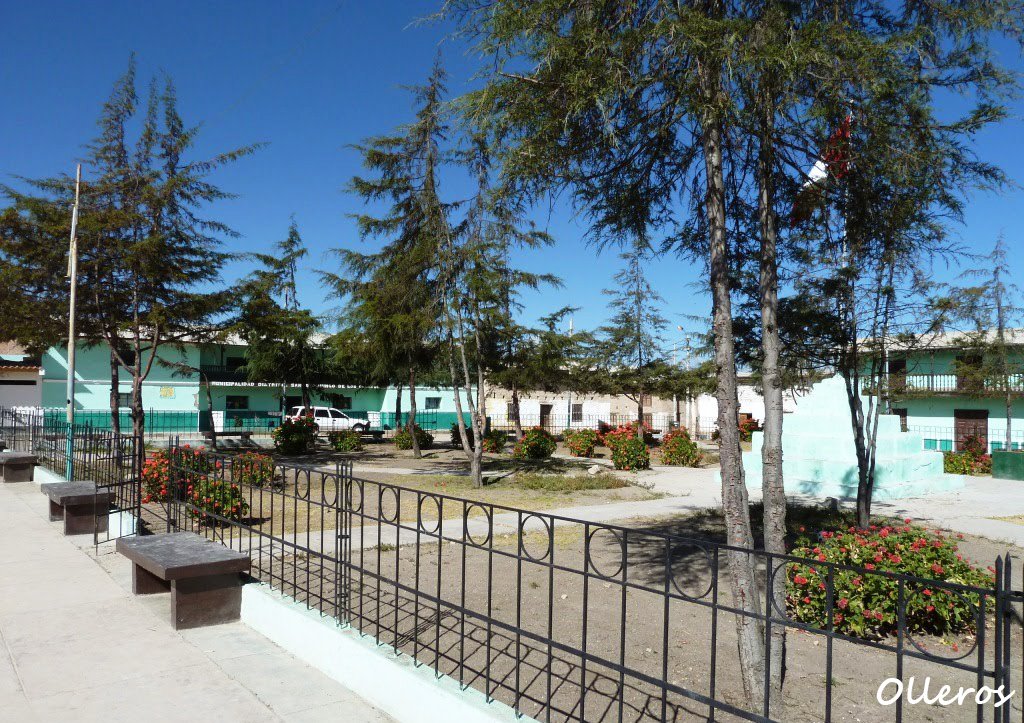
The district's name comes from Santo Domingo de Guzmán, the patron saint of the area found in its capital's temple; and Olleros in honor of the artisan potters who make the district unique.
It was officially created as a district on August 4, 1821, when the province of Huarochirí was established, including Olleros (now Santo Domingo de los Olleros) as a district. During the colonial era, the area was part of the Yauyos Corregimiento. In Inca times, the villages that now make up Santo Domingo de los Olleros already existed, making them places in the world that have passed the millennium.
Location
Santo Domingo de los Olleros is located in the Huarochirí province, within the Lima department.
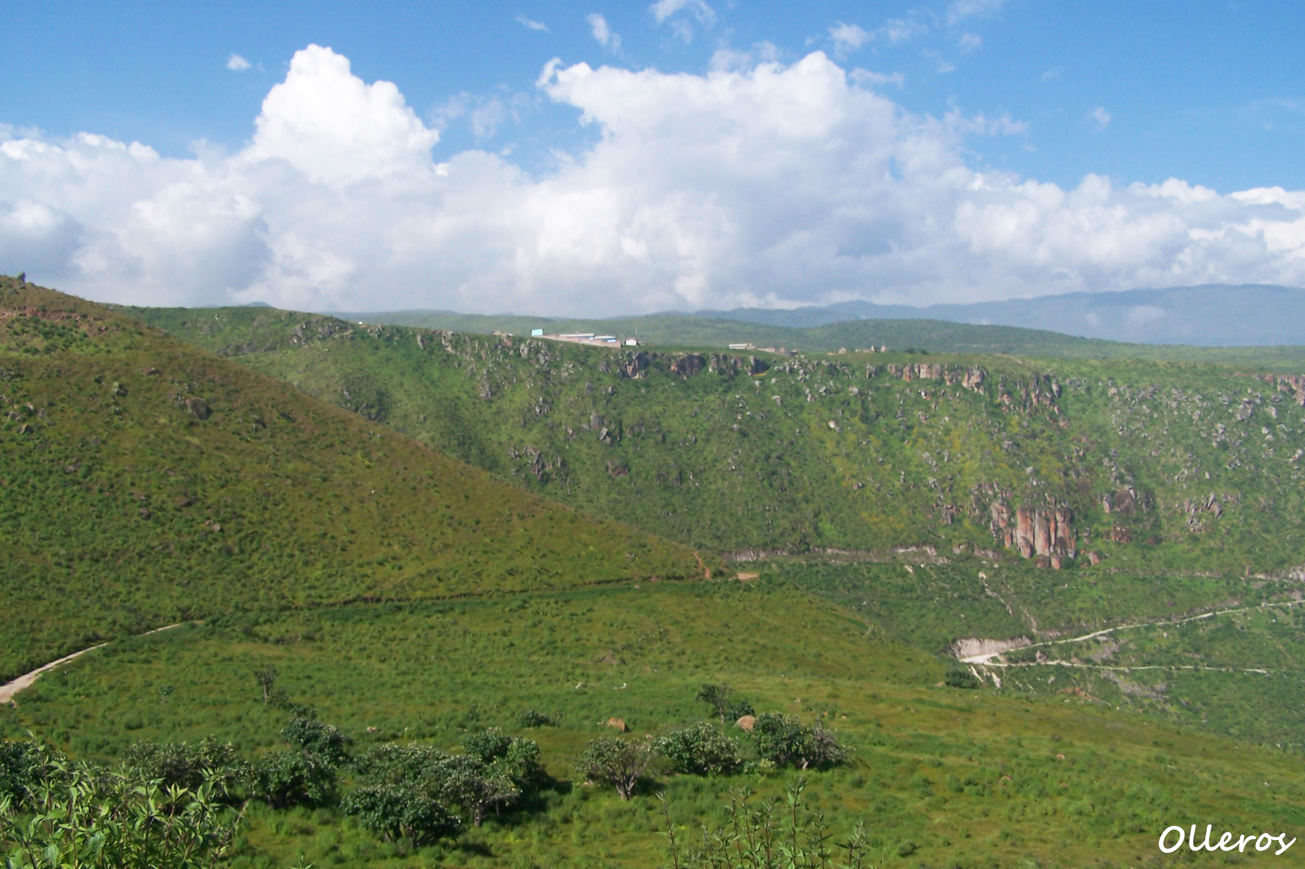
Climate and Temperature
It has a temperate and warm climate, with an average annual temperature of 16°C. The best time to visit the area is between the months of May and October, when the district enjoys sunny and mild weather.
Altitude
Santo Domingo de los Olleros is situated at an altitude of 2695 meters above sea level.
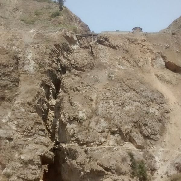
How to Get to Olleros
The fastest route from Lima is to take the Panamericana Sur highway to kilometer 62. You must cross the Chilca bridge and pass by the thermal power plant on a trail along the Chilca River (which is practically dry).
The first town you will encounter is Capto, then you will come to a fork in the road. You must turn left, passing through Cucayaco (continuing along the Chilca River bank).
Further ahead, you will pass through Cuculi, Pampilla, Llacallaca, and Casa Rosada where you will find another fork, there you must turn left again. Then the ascent begins, passing through Colipa, San Pedro de Huallanche, and finally reaching the capital of Santo Domingo de los Olleros.
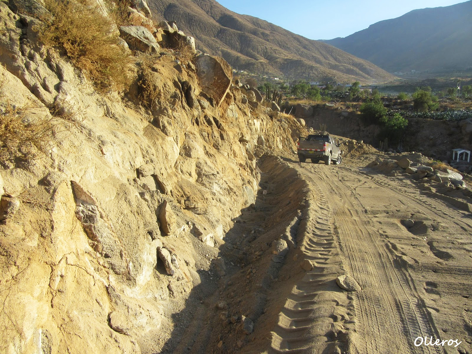
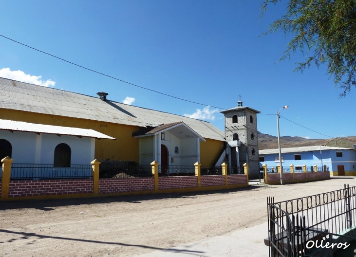
Photo: santodomingodelosolleros.blogspot
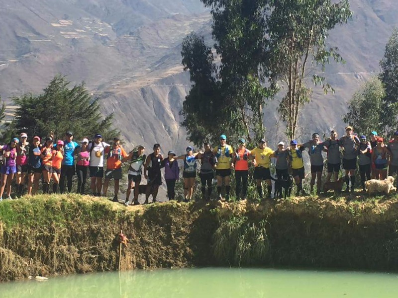
Adventure Sports
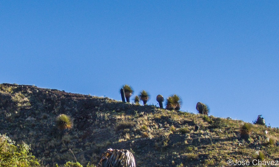
Tourist Attractions in Santo Domingo de los Olleros
- Bright Hope Spring: This spring is a water source accumulated in a natural stone well, flowing out of it and conducted through underground channels. It is located one kilometer from the district capital.
- El Hondo Natural Lagoon: Located in the Campesina Community of Matara. The folds in the ground and subsurface faults retain water in this beautiful lagoon.
- Piedra con Teta: An ancient sculpture of a woman in Pacta, marking the boundary of the Ihuancos. Carved in a rudimentary form, the respect for its solitary presence has imposed a common religious cult.
- Pacta Chapel: One of the seven in the Ollerano foothills. Its two environments allowed religious practices in the midst of the pampas' profound solitude during the annual roundups.
- Stone Stairs in Cuculi Chico Chilca Valley: Used by the ancient inhabitants of Cuculí Chico, Campesina Community of IIanac. It is part of the historical and cultural legacy left by the ancestors, where you can also see some of the materials and tools they used.
Video: ivicine
Location and how to get to Santo Domingo de los Olleros
Santo Domingo de los Olleros is located in huarochirí, Lima.
Map
huarochirí, Lima
What adventure sports can you do in Santo Domingo de los Olleros?
Adventure activities in Santo Domingo de los Olleros
There are no activities registered for this destination at this time.
Explore All ActivitiesPhotos of Santo Domingo de los Olleros
📖 Adventure Stories
-
Adventure in Huanchacara
Read adventure -
Autisha Canyon
Read adventure -
Autisha Canyon
Read adventure -
Huanano Waterfall
Read adventure -
Trail Friends
Read adventure -
Maquerhua Puya Forest
Read adventure