Parapente in Peru
Explore activities, routes, destinations and travel tips for Parapente in Peru.
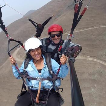
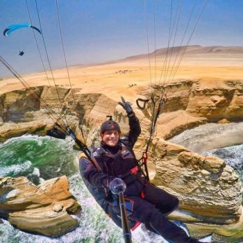
Parapente Activities
View all →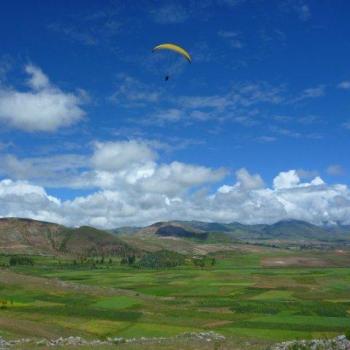
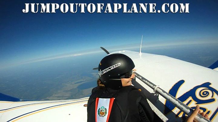
VUELO EN PARAPENTE POR LA COSTA VERDE + VIDEO
Disfruta de un increíble aventura¡¡¡ Volamos Magda...
Parapente Routes
View all →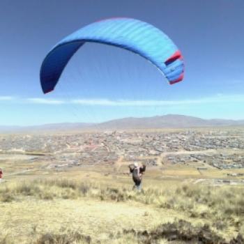
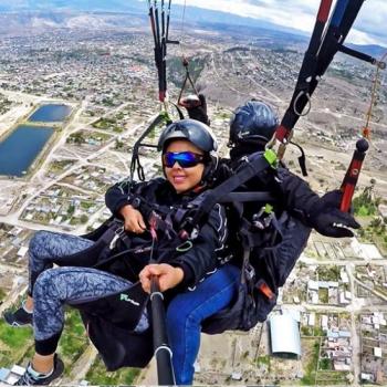
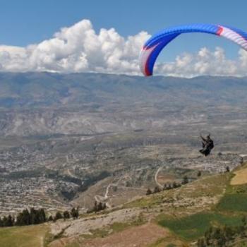
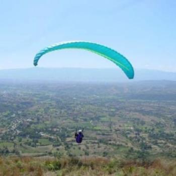
Paragliding in Arequipa
An urban setting for paragliding in Peru is the city of Arequipa, in the province and region of the same name. Paragliding in the territory of Arequipa is recommended, especially for those with experience in the discipline and endurance, as while the technical difficulty of flying in this area is not very high, the level of endurance required by the participant is significant and must be demonstrated from the ascent to the mountain chosen for takeoff. Paragliding flights in Arequipa start at around 5,800 meters above sea level, taking advantage of the high mountains in the province. These flights typically take about an hour to gently land at various points within the urban area of the city of Arequipa....
Paragliding in Callejón de Huaylas
A detail pointed out by enthusiasts of this sport is that from the air, the Cordillera Negra stands out in contrast to the Cordillera Blanca, where the snowy peak of Huascarán is located. The Callejón de Huaylas is a beautiful valley with high mountains that allow for paragliding descents, specifically around Huaraz and Carhuaz. The most well-known spot in the area is Cerro Pan de Azucar located in Yungay. Hang gliding is another sport you can practice, taking advantage of the mountain ranges in the area, thanks to the vertical air currents found there. Climate in Callejon de Huaylas Varied, highly dependent on altitude. Ranges from dry temperate to glacial cold. Rainfall occurs from September to March, and the so-called Andean warmth arrives from April to August. How to get to Callejon de Huaylas We can depart from Lima via the Panamericana Norte until reaching the Pativilca road, then continue eastward to enter the Andean region of Peru, precisely until Conococha, where the Santa River originates.Then we will follow along the river, through the center of the valley until reaching Huaraz, the capital of Ancash. This route takes approximately 6 hours and covers 400km. It's worth taking the land route to appreciate the numerous snowy peaks and beautiful landscapes that this part of Peru offers. Technical details of Callejon de Huaylas: Location: Huaraz Altitude: 6768 maximumClimate: Semi-dry - Cold Best season: April - NovemberDifficulty level: high Mode: ascent ...
Paragliding in Cerro Campanayoc
One of the most well-known landscapes in Ayacucho for its relief and because it is the Paragliding Open, the most important in the country, organized by the Peruvian Association of Free Flight. Where is the sport practiced? Located in the province of Huamanga, Carmen Alto district, 31 km from Ayacucho. The take-off zone is Cerro Campanayoc at 3500 meters above sea level and the routes can be from 20 to 50 km in the area characterized by wide valleys, plateaus up to 4200 meters above sea level, and green meadows. Altitude: Mountain with a height greater than 300 meters. Season: The best months are May, June, and July. What to bring? Do not carry valuables Comfortable clothing Recommendations Keep your hands free for a better experience. Follow the instructor's instructions. ...
Paragliding in Cerro Chupuro
(Currently disabled)An interesting spot that could be visited, if one is a fan of paragliding, is Cerro Chupuro, located in the province of Huancayo, in Junín. Flights starting at Cerro Chupuro are achieved after reaching an altitude of almost 3,800 meters. These are the suggested takeoffs for those starting in the sport, although it is also possible to start the flight, or attempt to start it, at around 4,000 meters, in the area known as La Antena. However, this last area can only be flown over if one has good physical conditions to run the trail before the flight begins. If you do not have much experience, it is recommended to start the flight before noon to avoid the thermals that occur in the area. Also, it is recommended that those interested in practicing paragliding in the area go with the necessary equipment to withstand the cold that may occur in the area and may require landing earlier than planned....
Paragliding at Cerro San José
Cerro San José is located in the province of Andahuaylas in the Apurímac region. This hill is one of the favorite spots in the region for paragliding. Due to the complexity of takeoff in this area, Cerro San José is only recommended for those who already have experience in the discipline. Flights from Cerro San José reach altitudes of over 5,000 meters, and it is suggested to follow the route closest to populated areas, as the lands near San José are largely unexplored territories. If landing in agricultural lands, care must be taken not to disturb the locals, who are mostly Quechua speakers....
Paragliding in Chincha
Laderas is located 185 km south of the city of Lima, surrounded by exotic landscapes, wide beaches, green swamps, and wild nature sites. The flight ranges from 60 to 200 meters in height, starting in the Chincha Valley and reaching the Cañete Valley, with a distance of approximately 35 km between them. The round trip flight (70 km) lasts about 4 hours, with the speed record for this distance being 2 hours and 20 minutes. The flight is dynamic with the presence of very small thermals that are not turned but rather surfed. There are two points of difficulty, but with a bit of precision, wind, and skill, these can be overcome. Paragliding in Chincha is an interesting sport that is gradually gaining more practitioners. Chincha is located in the Ica region. Flights in Chincha take place in the Chincha Valley, where the slopes reach heights ranging from 60 to 200 meters. Flights starting in this valley usually reach Cañete, and the total journey can be completed in an average of four hours. Due to the valley's conditions, the flight path is often quite close to the slopes, so extreme care must be taken to avoid any forced landings. Any time is good for paragliding in this area of Chincha; however, it is recommended to obtain prior information about wind conditions....
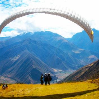
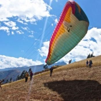
Paragliding in Chinchero
The Cusco is one of the best places to visit in the world, as it is home to Machu Picchu, one of the 7 wonders. But it also offers a unique experience of enjoying the wonderful landscapes of the Sacred Valley of the Incas by paragliding, a real challenge for a great adventurer. Photo: machupicchumagico Where it takes place The adventure starts between the areas of Chinchero and Cruzpata, always depending on good weather to be able to practice this sport. It is necessary to be patient for the departure time, because as is known, paragliding depends a lot on the weather conditions. Time There are flights of different durations ranging from 10 to 15 minutes up to 35 minutes, depending on the agency and the package purchased. Altitude The flight altitude is 800 meters, and in some cases it can reach 1000 meters. Season It is recommended to do this adventure between the months of May to September, as mentioned earlier, paragliding depends a lot on weather conditions to be able to take place. Level It is suitable for any level in paragliding, although it is necessary to check the restrictions that each agency has, such as the person's weight, age, health problems, etc. Video: Albertinagar What to bring Sports or hiking shoes Comfortable and warm clothing Bottled water Sunglasses Sunscreen Paraglider Harness Helmet *The last 3 items must be provided by the hired agency Recommendations Hire agencies that offer this service, in Cusco these outings that take half a day are very popular....
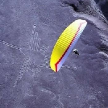
Paragliding in Nazca Lines
The Nazca Pampa does not have accessible takeoff points, so it is only possible to fly over it with a paramotor or by being lifted by a towing system. The area is highly thermal, allowing for cross-country flights visiting all the lines. Cerro Blanco is the largest sand dune on the continent (1,000 meters), and one of the largest in the world. It is located five minutes from the city, taking off from Cerro Azul and gaining altitude with the present thermals. Experienced pilots will have the opportunity to reach the dune, making this a quite technical flight, while less experienced pilots can enjoy a good flying area....
Specialized Agencies
View all →

Adventure Perú Tours
Urbanización Bancopata M-6, Santiago - Cusco
...

Aeroxtreme
Ca. Tripoli 345 Lt. 503 Miraflores, Lima, Lima, Perú
La Agencia de viajes y tours Aeroxtreme reconoc...

Allin Illariy
Av. Benavides 291 Int 111 Miraflores
Somos una Agencia de viajes - Tour Operador, de...

Ayacucho Zamy Tours
Portal Independencia 66, Ayacucho, Perú
Ayacucho es fascinante por ser un destino en el qu...
Bezgranic Traveler
Lima,Breña- Av. arica 259
Pórque viajar con PERU BEZGRANIC Perú bezgranic s...
Condor Xtreme
Circuito de Playas, Explanada costa verde, Magdalena del Mar Lima
Circuito de Playas, Explanada costa verde, Magd...
Community Adventures
View all →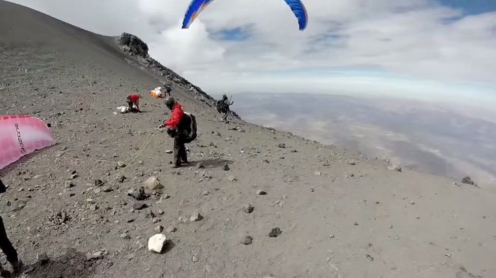
Flight from Misti
It was an unforgettable adventure with the Apu Qente free flight club and paragliding friends, 12 in total. The journey was very tough and demanding but after two days and about 12 hours of hiking, we finally reached the summit to then spread our wings and fly. The landscape is beautiful, with the possibility of flying all the way to the city of Arequipa. We finished with the desire to do it again. IT WAS TRULY AMAZING !!!!!...

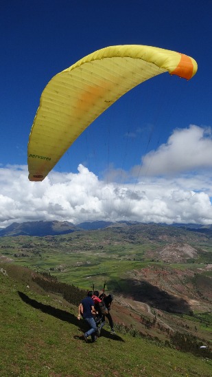
Flights in the Sacred Valley of the Incas
We make your dream of flying a reality!!!! We fly over the Sacred Valley of the Incas, an unforgettable and unique experience....