Paragliding in Cerro Campanayoc
Sport: Parapente
Route Description
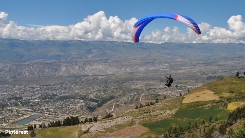
One of the most well-known landscapes in Ayacucho for its relief and because it is the Paragliding Open, the most important in the country, organized by the Peruvian Association of Free Flight.
Where is the sport practiced?
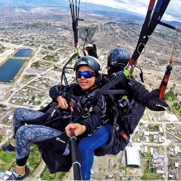
Located in the province of Huamanga, Carmen Alto district, 31 km from Ayacucho. The take-off zone is Cerro Campanayoc at 3500 meters above sea level and the routes can be from 20 to 50 km in the area characterized by wide valleys, plateaus up to 4200 meters above sea level, and green meadows.
Altitude: Mountain with a height greater than 300 meters.
Season: The best months are May, June, and July.
What to bring?
- Do not carry valuables
- Comfortable clothing
Recommendations
- Keep your hands free for a better experience.
- Follow the instructor's instructions.
Key Data about Cerro Campanayoc
Altitude
3500.00
Best Season
Mayo a Octubre (temporada seca)
Climate
Templado de montaña
Natural Region
Sierra
Distance
20.00 km
🏃 Available Activities on Cerro Campanayoc
💡 Tip: These activities are specifically designed for this route. Each one offers a unique experience that complements the main route.
Planifica tu aventura
Solicita información o cotizaciones para esta experiencia.
Paragliding in Cerro Campanayoc