Palacala
Description
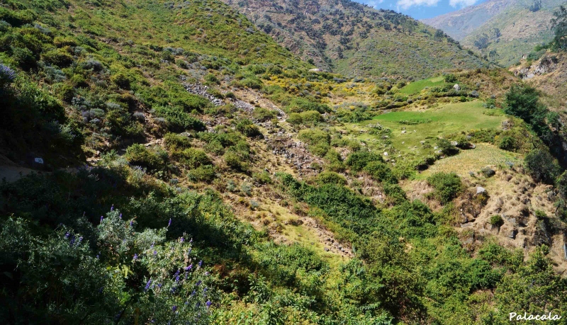
The Palacala waterfall or Palakala is a set of waterfalls located in the Matala ravine in the Lima highlands. Access to this site is through a perfect route for trekking, a path with a vertical drop of over 800 meters and a distance of 9 kilometers.
These waterfalls have a height of 12 meters, attracting many visitors, especially adventure enthusiasts due to their level of difficulty and unique landscape.
Location
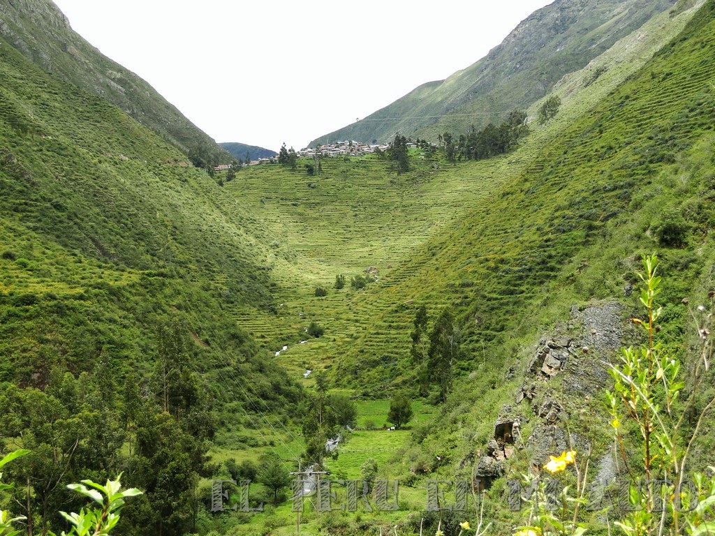
It is located on the outskirts of the district of San Jerónimo de Surco, in the province of Huarochirí within the department of Lima.
Climate and Temperature
The area has a dry climate with rains in winter (December to March); temperate and warm in summer (May to November). The average annual minimum temperature is 10°C and maximum is 28°C.
Altitude
The Palacala waterfall reaches an altitude of 2800 meters above sea level.
How to get to Palacala
The journey to the Palacala waterfall is divided into 3 parts:
First part: The first step to reach Palacala is to go to Chosica. To do this, you must take the minibuses known as "chosicanos," preferably boarding at the stops of Paseo Colón, Vía Expresa Grau, and Óvalo de Santa Anita. You must get off at Parque Echenique.
Second part: Once you reach Parque Echenique, head 2 blocks towards a kind of open space, where you should board the buses going to Matucana. You must get off at kilometer 66 of the road.
Third part: In San Jerónimo de Surco, the next step is to hike along the marked trail that leads to the Palacala waterfall. To access it, a fee of 2 soles must be paid. The total 9-kilometer path takes about 3 hours to complete.
Adventure Sports
- Trekking
Full Day at Palacala Waterfall
Currently, there are many tour agencies offering a full day at the Palacala Waterfall, a favorite adventure for trekking enthusiasts. Prices vary depending on the services and types of packages purchased, ranging from 70 to 120 soles. There is also the option to camp in the area near the waterfall, but this type of outing is mostly offered on special dates.
Video: lazlo
Key Destination Data
Altitude
2800.00 m.s.n.m.
Best Season
Abril a Octubre (temporada seca)
Climate
Templado de montaña
Natural Region
Sierra
📍 Location
📍 huarochirí, Lima
🛤️ Available Routes
🏃 Adventure Activities
There are no activities registered for this destination at this time.
Explore All Activities📖 Adventure Stories
Route to the ancient terraces
Read adventure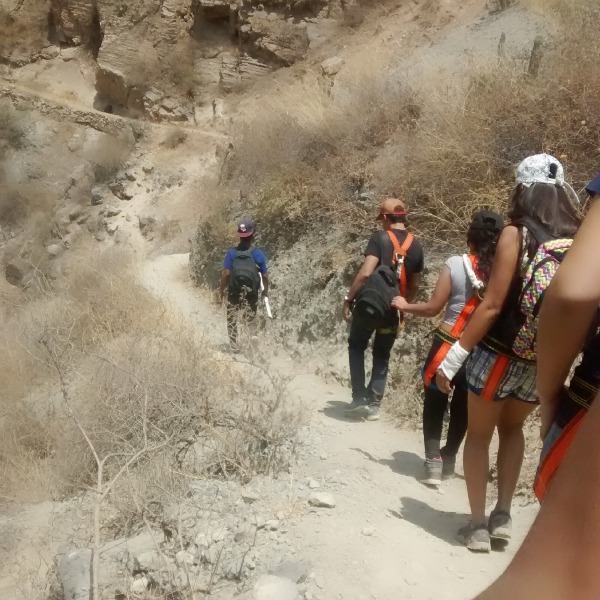
Autisha Canyon
Read adventure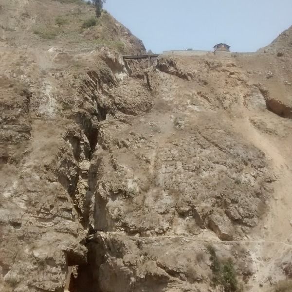
Autisha Canyon
Read adventure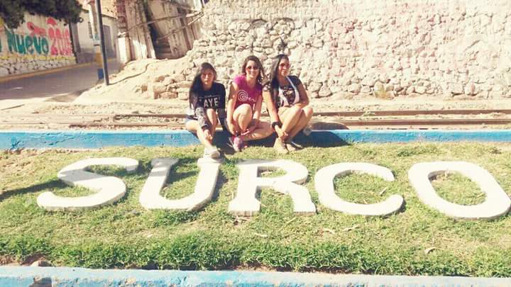
Huanano Waterfall
Read adventure
Summit Nevado Mateo 5150 meters above sea level
Read adventure