Campanayoc Mountain
Description
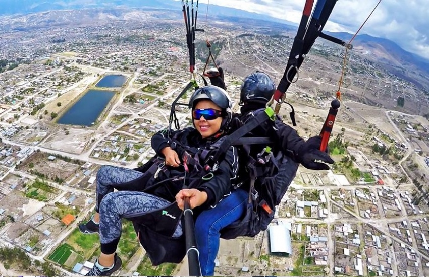
Ayacucho is surrounded by large hills, with Campanayoc being the largest of all. The formation of the name comes from two words: campana and yocc; the latter of Quechua origin which is a suffix of belonging. Coming to mean bell with sound or hill with bell. The origin of why is not exact. The place is ideal for paragliding.
Where is the hill located?
It is located to the south, in the district of Carmen Alto, province of Huamanga, region of Ayacucho.
What is the climate and temperature?
Mild and dry, usually 15°C. It is important to emphasize that the climate in Ayacucho is very changeable.
Altitude:
3565 meters above sea level
How to get there?
How to get there by plane: If the trip is by air, the duration is 45 min.
How to get there by bus: By land, the duration is 11 hrs. with a distance of 573 km.
What adventure sports are practiced?
Paragliding
It is important to consider the rainy seasons, which are from December to March, July is the coldest month; with May, August, and September being the months with the best weather.
Key Destination Data
Altitude
3200.50 m.s.n.m.
Best Season
Abril a Octubre (temporada seca)
Climate
Templado de montaña
Natural Region
Sierra
📍 Location
📍 Huamanga, Ayacucho
🛤️ Available Routes
📖 Adventure Stories
RAINBOW MOUNTAIN AYACUCHO
Read adventure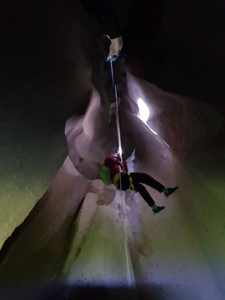
Underground Hiking, Climbing, and Rappelling
Read adventure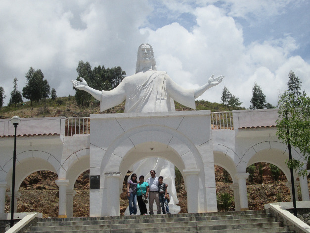
Huanta Waterfall Trek
Read adventure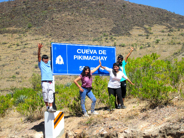
Trekking to Pikimachay Cave
Read adventure