Huayhuash Mountain Range: Adventure Sports and Tourism 2026
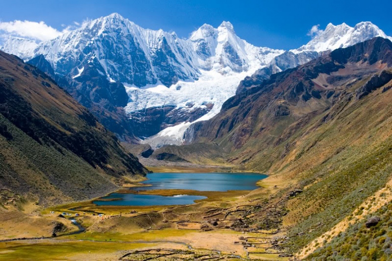
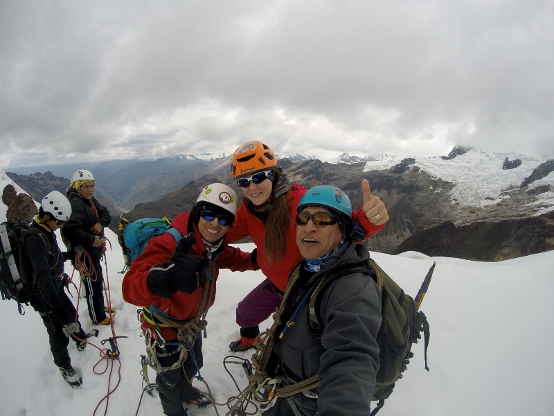
The Huayhuash mountain range (Ancash) is the ideal place for those who practice Trekking and Mountaineering, considered one of the best routes for mountaineering trekking in the world. This is because 6 of its peaks exceed 6000 meters above sea level, representing a real challenge for adventure sports enthusiasts. Loca...
Key facts about Huayhuash Mountain Range
| Ubicación | Ancash y Huanuco, Ancash |
|---|---|
| Altitud | 6000.00 m.s.n.m. |
| Clima | Frío de alta montaña |
| Mejor época | Mayo a Septiembre (temporada seca) |
| Región natural | Sierra |
The Huayhuash mountain range (Ancash) is the ideal place for those who practice Trekking and Mountaineering, considered one of the best routes for mountaineering trekking in the world. This is because 6 of its peaks exceed 6000 meters above sea level, representing a real challenge for adventure sports enthusiasts.
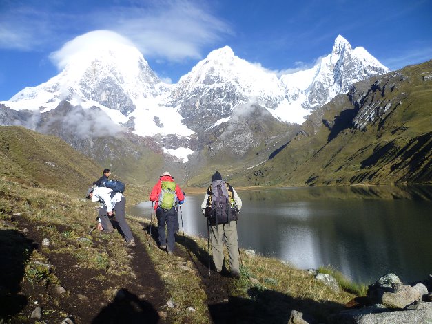
Located in the Andes south of the Cordillera Blanca, with an extension of 30 km where 7 mountains exceed 6000 meters above sea level, and another 7 mountains reach 5000 meters above sea level, it also has glacial lakes of admirable beauty. The highest mountain is called Yerupajá, reaching up to 6,617 meters above sea level.
Adventure Sports in the Huayhuash Mountain Range
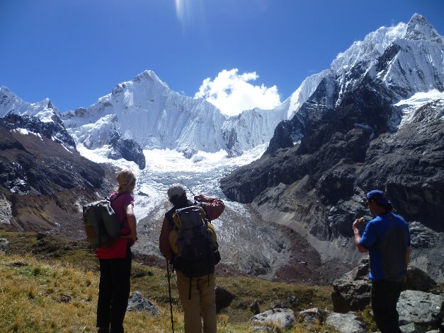
Adventure tourism is based on sports such as professional mountaineering, where enthusiasts of this activity have named this mountain range as the most splendid in all of Peru. It has mountain peaks that present a high level of difficulty for mountaineers.
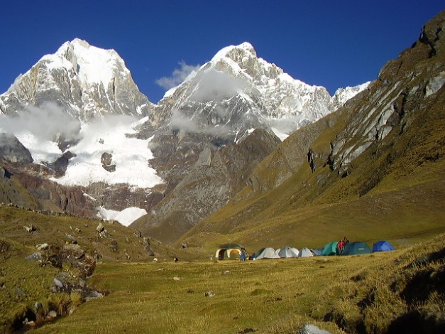
Here you can also practice trekking, with a route of 160 km at an average altitude of 4300 meters above sea level, making it the toughest, longest, and most spectacular route in the world.
How to get to the Huayhuash Mountain Rangeh
We can depart from Lima via the Panamericana Norte to the Pativilca road, continue eastward to enter the Andean region of Peru, precisely to Conococha, where the Santa River originates, then continue parallel to the river, through the center of the valley until reaching Huaraz, the capital of Ancash. This route takes approximately 6 hours and covers 400 km.
Then we head directly to the first camp, Cuartelwain (a 150 km journey); or we can also go to the town of Llámac, and start walking for about 4 hours to reach the first point.
Climate in the Huayhash Mountain Range
Semitropical and polar climates are present in the high areas located at the headwaters of the valleys and mountains, as in the lower valleys the climate is temperate, becoming warmer towards the Pativilca and Marañón river valleys.
Highest Altitude: 6,617 meters above sea level. Temperatures: 20°C during the day - 0° to 15°C at night
Location and how to get to Huayhuash Mountain Range
Huayhuash Mountain Range is located in Ancash y Huanuco, Ancash.
Map
Ancash y Huanuco, Ancash
What adventure sports can you do in Huayhuash Mountain Range?
Adventure activities in Huayhuash Mountain Range
There are no activities registered for this destination at this time.
Explore All ActivitiesPhotos of Huayhuash Mountain Range
📖 Adventure Stories
-
Huayhuash Mountain Range
Read adventure -
Huayhuash Mountain Range Trekking
Read adventure -
Huayhuash Trekking Tours in Peru
Read adventure -
Summit Nevado Mateo 5150 meters above sea level
Read adventure -
3RD NORTHERN BROTHERHOOD MOTORCYCLE GATHERING
Read adventure -
HUARAZ EXTREME
Read adventure