Trekking in Razuhuillca Lakes
Sport: Trekking
Route Description
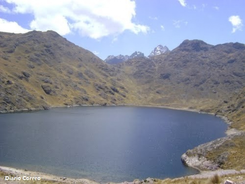
One of the ideal places to venture into trekking is the Razuhuillca snow-capped mountain, a massive and rocky glacier at almost 4100 meters high.
Where is the sport practiced?
The Razuhuillca lagoons are located in the district of Luricocha, in the province of Huanta; at almost 4100 meters above sea level.
Distance: From Lima to the city of Ayacucho by road is approximately 10 hours. From Ayacucho to Huanta is 47 km, which is about a 1-hour drive along the 3S highway.
Duration of the activity: The activity lasts approximately 8 hours.
Season: The climate in Huanta is very similar throughout the year. The average annual maximum temperature is 24°C, while the minimum temperature, especially at night, can be 7°C. You can plan your trip on different dates when festivities take place. In Huanta, celebrations and activities are present almost every month.
What to bring?
- Comfortable but warm clothing
- Windbreaker jackets, hat, and gloves
- High-top shoes or sneakers
- Sunglasses
- 1 liter of water
- Waterproof clothing
- Camera
Recommendations
- Acclimatize one day before the activity.
- Bring extra money.
- Follow the instructions of the assigned guide.
- Bring a small bag with personal items.
Key Data about Lagunas de Razuhuillca
Altitude
4100.00
Best Season
Mayo a Octubre (temporada seca)
Climate
Frío de alta montaña
Natural Region
Sierra
Distance
15.50 km
🏃 Available Activities
There are no specific activities registered for this route at this time.
Explore All ActivitiesPlanifica tu aventura
Solicita información o cotizaciones para esta experiencia.
Trekking in Razuhuillca Lakes