Climbing in Nevado Ausangate
Sport: Escalada
Route Description
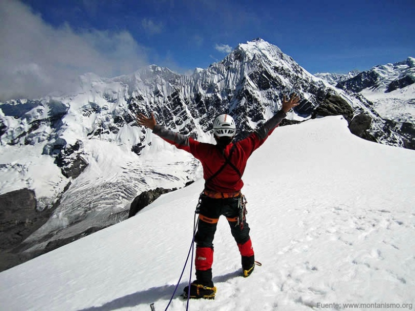
The Ausangate Mountain is a majestic wonder offered by the city of Cusco, which welcomes thousands of climbers from around the world who embark on the adventure of this impressive mountain.
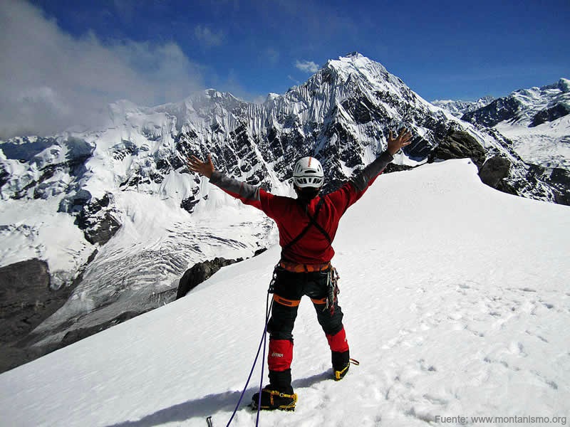
The Ausangate Mountain is located in the region of Cusco, province of Quispicanchi, and is part of the Vilcanota Mountain Range. The ascent to the mountain is through the route that runs from the south, but it requires knowledge of ice climbing due to the delicate and dangerous sections during the ascent.
Where It Takes Place
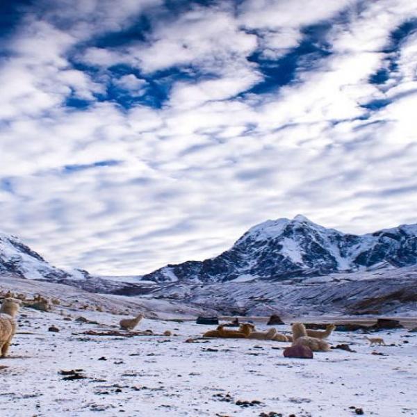
It takes place at the Ausangate Pass, which is the fifth highest mountain in Peru and the most renowned in the Cusco Andes. This Apu is located in the Vilcanota Mountain Range, with its highest peak reaching 6,372 meters above sea level.
Located in the Vilcanota Mountain Range, it is one of the most challenging areas to access. The highest peak of this snow-capped mountain exceeds 6,000 meters above sea level.
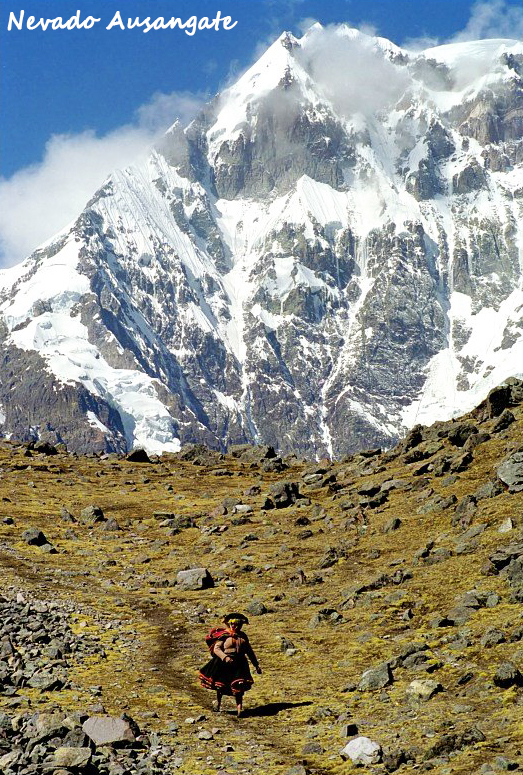
Photo: Philippe Buffard
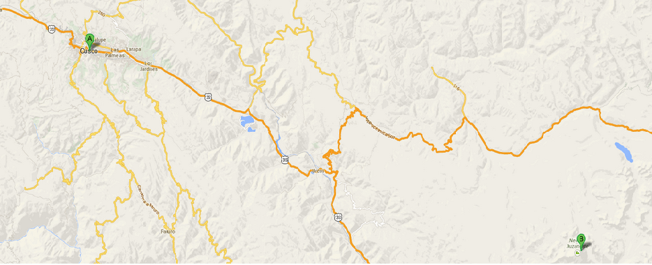
Route to Ausangate Mountain
To reach the base of Ausangate Mountain and start the ascent for the climbing activity, you must follow the following route and return the same way:
Cusco – Urcos – Ocongate – Tinki - Upis – Arapa Pass – Hatun Pucacocha Lagoon – Pucaccocha – Ausangate Pass.
Level
This adventure sport in Ausangate is suitable for advanced athletes.
Season
The ideal season for climbing is between the months of June and August.
Modalities
Ice and rock climbing.
Video: Andean Lodges Cusco
What to Bring
- Sleeping bag.
- Sun hat, fleece hat.
- Waterproof pants and jackets.
- Ice gloves.
- Ice goggles.
- Headlamp.
- Personal medications.
- Sunscreen.
- Down jacket.
- Windbreaker jacket.
- Harness.
- Ice axe.
- Climbing boots.
- Crampons.
- Helmet.
- Ropes, stakes, etc.
Recommendations
When climbing in Ausangate, it is advisable to seek guidance from local climbers familiar with the area, as it is a challenging terrain and you will need the support of someone who knows the place well.
Key Data about Nevado Ausangate
Altitude
6384.50
Best Season
Mayo a Septiembre (temporada seca)
Climate
Frío de alta montaña
Natural Region
Sierra
Distance
0.50 km
🏃 Available Activities on Nevado Ausangate
💡 Tip: These activities are specifically designed for this route. Each one offers a unique experience that complements the main route.
Planifica tu aventura
Solicita información o cotizaciones para esta experiencia.
Climbing in Nevado Ausangate