Cycling in Chinchero
Sport: Ciclismo
Route Description
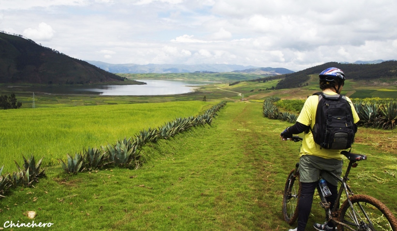
Cycling on the Chinchero route is one of the most unforgettable routes for adventure tourists visiting Cusco, which is why it is recommended by thousands of adventure sports enthusiasts to engage in various extreme sports.

This route offers a wonderful journey, allowing you to discover the high part of the Sacred Valley of the Incas, while enjoying impressive landscapes such as large mountains and snow-capped peaks. Along the way, you will also pass by the archaeological sites of Maras, Moray, Salineras, and Chinchero.
This route, with its narrow paths, ascents, and descents in the mountains, allows you to observe the traditional agricultural life of the local inhabitants while being in contact with nature.
Where It Takes Place
This adventure takes place in Chinchero, located in the Province of Urubamba, 28 kilometers from Cusco. This village sits at an altitude of 3,754 meters at the crossroads of three roads connecting Cusco, Yucay, and Pumamarca.
Route
Depart from Cusco towards the Sacred Valley of the Incas, stopping in Chinchero and continuing towards the community of Cruz Pata, where the cycling journey to Moray begins. Upon reaching Moray, continue towards the town of Maras, then proceed to the Salineras. Upon reaching the Vilcanota River, it will be time to return, as the Chinchero – Maras – Urubamba route will have been completed.

Photo: incaworldperu
Time
This route, when organized by agencies, takes a full day, including some stops to visit the tourist attractions along the way.
Distance
The route covers an approximate distance of 30 kilometers.
Type
- Cross Country
Season
This sport can be practiced at any time of the year, although the best season for this adventure is between the months of May and September, when the weather is mild and the landscapes can be better appreciated.
Level
This route requires an intermediate level in mountain biking.
Video: doguiromero78
What to Bring
- Backpack with personal belongings.
- Comfortable clothing.
- Cycling or sports shoes.
- Spare camera.
- Light jacket for rain and wind.
- Cap for sun, rain, or cold protection.
- Sunscreen.
- Sunglasses.
- Insect repellent.
- Water in disposable container.
- Helmet.
- Gloves.
- Inflator.
- Multi-tool.
Recommendations
Hire a specialized tourism agency to provide this service, so you can be guided by a professional familiar with the routes.
Key Data about Chinchero
Altitude
3760.00
Best Season
Mayo a Octubre (temporada seca)
Climate
Templado de montaña
Natural Region
Sierra
Distance
35.50 km
🏃 Available Activities on Chinchero
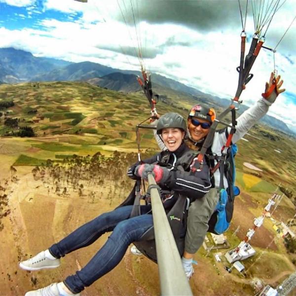
💡 Tip: These activities are specifically designed for this route. Each one offers a unique experience that complements the main route.
Planifica tu aventura
Solicita información o cotizaciones para esta experiencia.
Cycling in Chinchero