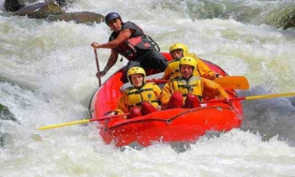
Rafting on the Urubamba River
Sport: Canotaje
Route Description
For the adventurer visiting Cusco, rafting is almost a must, as the Sacred River of the Incas offers us various alternatives.
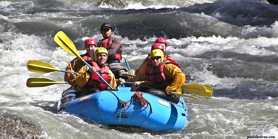
The Sacred River of the Incas, known as the Urubamba River (also called Urupampa), is one of the most exciting adventure activities offered in the famous "Sacred Valley of the Incas," surrounded by beautiful mountains crowned with majestic glaciers belonging to the southern Andes mountain range of Peru.
Where it takes place
The Urubamba River, which means "plateau of spiders" in Quechua, is one of the main rivers in our country. Along its course are different protected areas, such as the Historic Sanctuary of Machu Picchu, the Megantoni National Sanctuary, and the Otishi National Park.
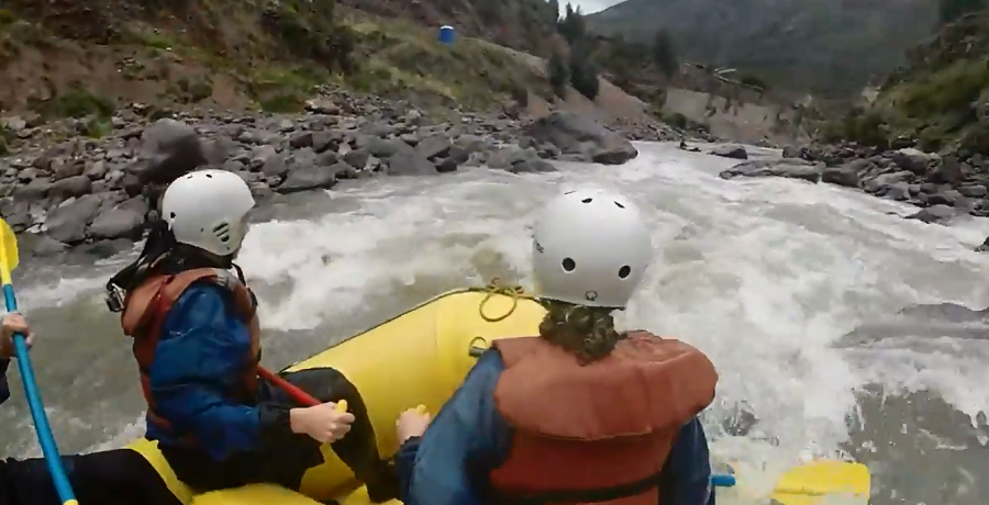
Sections for rafting
- Huambutio - Pisac:
The rapids are short, class III, and of low technical difficulty. Recommended from May to September.
- Urubamba - Boca de Sapo:
This section is faster than the first one and offers a bit more adventure, as the route is more varied and with faster water but not risky.
- Huarán:
Here, the journey is pure adrenaline, one of the strongest sections of the Urubamba. Some experience is necessary, but there is no risk.
- It is advisable to do the journey in the dry season, from June to September.
- This part of the river is of medium difficulty, due to the quality of maneuvers that kayak enthusiasts can perform, but it requires a high technical level.
- Others: Higher part of the Valley, class IV
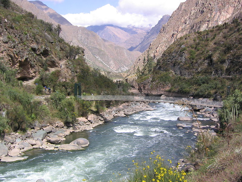
Source: commons.wikimedia.org
Located:
- Urubamba River, Urubamba Valley or Sacred Valley, Calca Urubamba
Time:
- Approximately 2 to 3 hrs.
Class:
- II, III, IV, and V depending on the chosen sections.
Altitude:
- Urubamba Valley: 2,850 meters above sea level
What to bring?
- Sleeping bag and mat
- Short and thin pants
- Sunscreen, hat, insect repellent
- Sandals or sneakers
- Water bottle
- Warm and waterproof clothing
- Camera
Key Data about Rio Urubamba
Altitude
2800.50
Best Season
Abril a Octubre (temporada seca)
Climate
Templado, con posibles lluvias ocasionales
Natural Region
Sierra
Distance
20.50 km
🏃 Available Activities
There are no specific activities registered for this route at this time.
Explore All ActivitiesPlanifica tu aventura
Solicita información o cotizaciones para esta experiencia.
Rafting on the Urubamba River