Rafting on Santa River
Sport: Canotaje
Route Description
Discover, enjoy, and experience the adrenaline of this adventure, rafting, running through the rapids of the Santa River across the highest tropical mountain range in the world
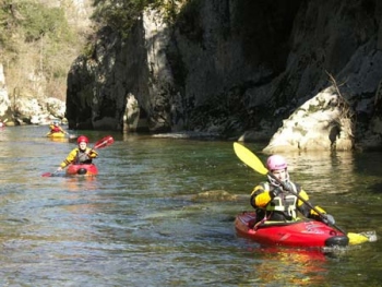
 Source - Photo: hi-tecperu.com
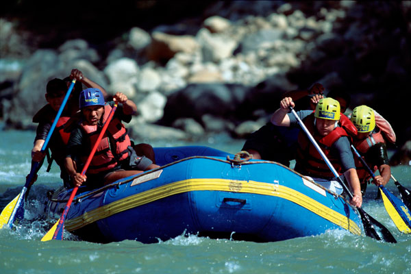
The Santa River is located 30 km north of Huaraz, Ancash at an altitude of 3,100 m. The river runs along the Huaylas Valley from south to north through the towns of Recuay, Huaraz, Carhuaz, and Huaylas (Caraz), between the White and Black mountain ranges, providing an ideal setting for rafting and kayaking enthusiasts with intense and spectacular rapids.
Rafting Sections
It is advised that when rafting on the Santa River, it should only be done in the company of a specialized guide, especially in the Anta and Caraz areas where the difficulty level is higher with an approximate 15 km route. Other sections offer greater difficulty.
- Jangas - Anta Section: From Huaraz to the town of Jangas, the route is approximately 9 kilometers. In this thrilling and adrenaline-filled journey, you can admire the White Mountain range (Nevado Huascaran) and the abundant flora. The rapids here are exciting and not recommended for beginners, difficulty level V.
- Yungay - Caraz Section: Descend from Huaraz to the city of Yungay (Puente pueblo libre) and continue to the city of Caraz. The rapids here are thrilling and not recommended for beginners, difficulty level V.
- Others: In the Santa River, there are also ideal areas for beginners, located in certain areas of the Anta zone known only to specialized individuals, where you can experience rapids of level II and III. Also, in the Ucucha section, the route is approximately 6 kilometers to Paty (which is 1 km from Carhuaz) and the Carhuaz - Mancos section.
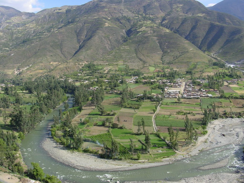 Source - Photo: www.panoramio.com
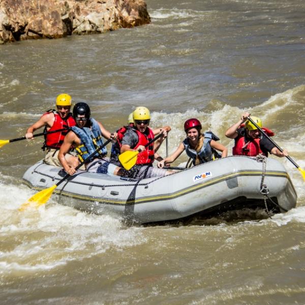
Season:
It is recommended to visit this river between May and October, although in July and August the flow may be very low, and from December to April, it is the rainy season offering extreme difficulty.
Difficulty:
The practice of rafting in its waters is Slightly Difficult, although there are areas that reach a difficulty level of V, so it is not recommended for beginners.
Source - Video: https://www.youtube.com/watch?v=ZV5utltCRgI
Key Data about Rio Santa
Altitude
2100.50
Best Season
Mayo a Septiembre (temporada seca)
Climate
Frío de alta montaña
Natural Region
Sierra
Distance
25.70 km
🏃 Available Activities on Rio Santa
💡 Tip: These activities are specifically designed for this route. Each one offers a unique experience that complements the main route.
Planifica tu aventura
Solicita información o cotizaciones para esta experiencia.
Rafting on Santa River