Antankallo: Adventure Sports and Tourism 2026
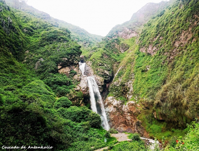
The Antankallo waterfall, also known as the "friendship waterfall," is located just a few hours from the center of the capital and is considered one of the main tourist attractions in the department. This place in the Lima highlands is ideal for practicing adventure sports such as trekking, a must-do activity to see th...
Key facts about Antankallo
| Ubicación | huarochirí, Lima |
|---|---|
| Altitud | 2800.50 m.s.n.m. |
| Clima | Templado de montaña |
| Mejor época | Abril a Octubre (temporada seca) |
| Región natural | Sierra |
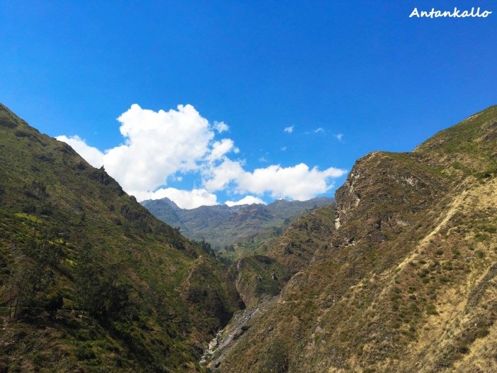
The Antankallo waterfall, also known as the "friendship waterfall," is located just a few hours from the center of the capital and is considered one of the main tourist attractions in the department.
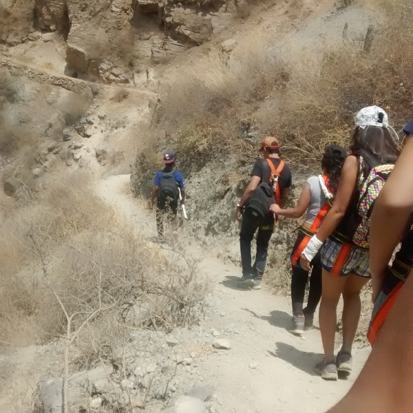
This place in the Lima highlands is ideal for practicing adventure sports such as trekking, a must-do activity to see the waterfall; and canyoning, an adrenaline-filled discipline. Antankallo is an ecological resource that has been promoted in recent years by tourism agencies offering weekend trips to this destination.
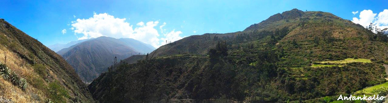
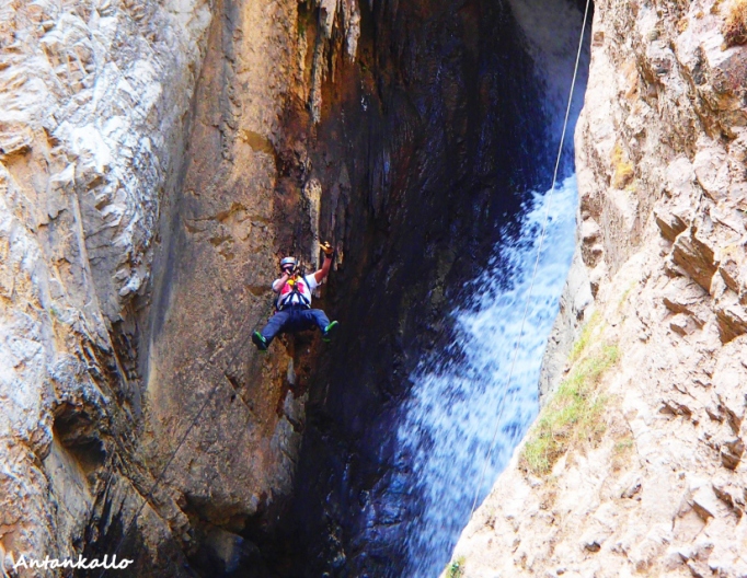
Photo: Ruben Visso
Location
Antankallo is located in the district of Matucana, in the province of Huarochirí in the department of Lima.
Climate and Temperature
It has a very warm climate in the morning and very cold in the afternoon. The average maximum temperature is 26°C and the minimum is 8°.
Altitude
Antankallo is located at almost 2800 meters above sea level.
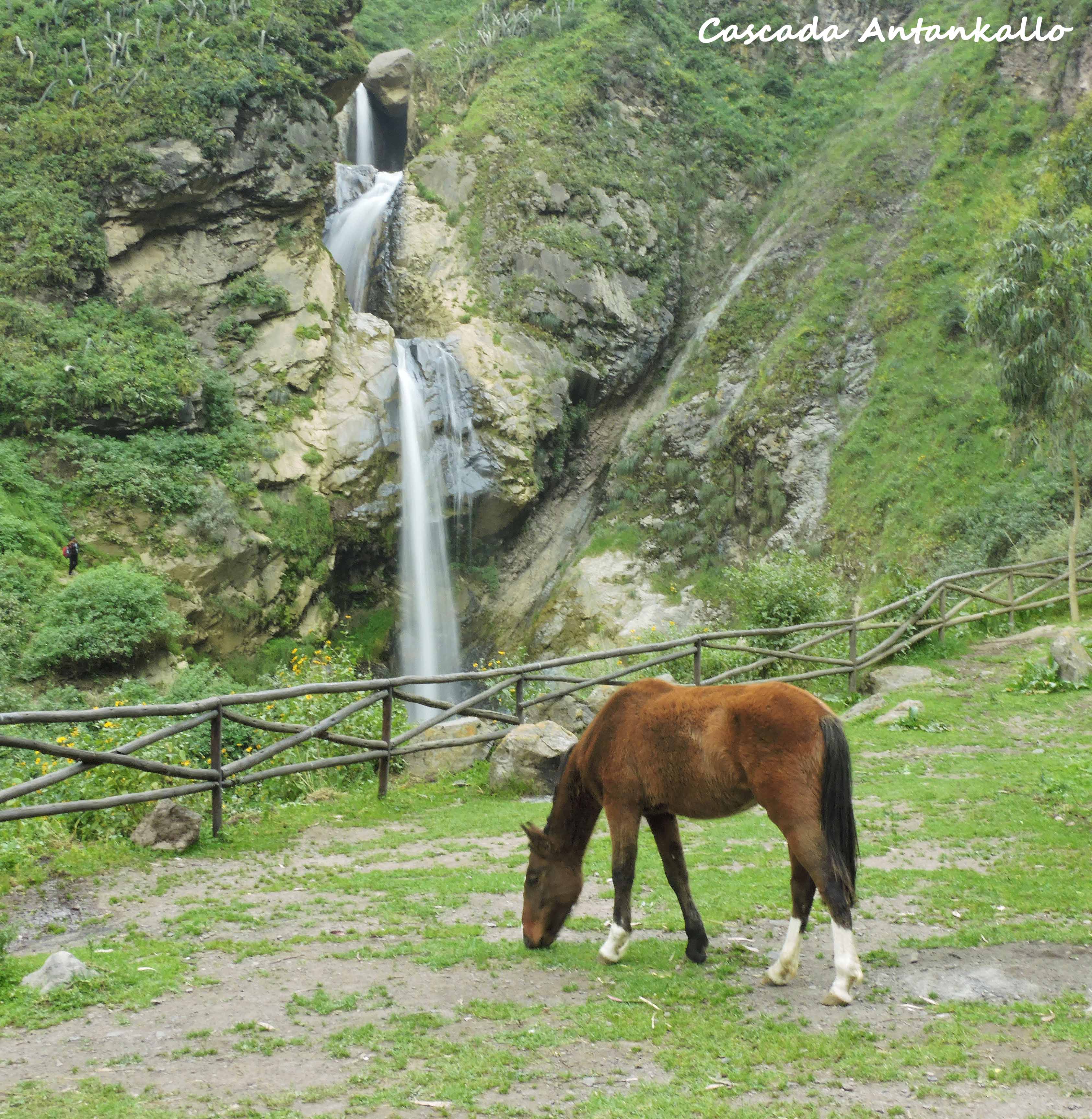
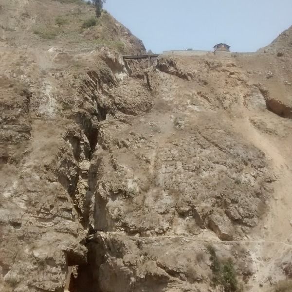
Photo: Giancarlo Santos Cardenas
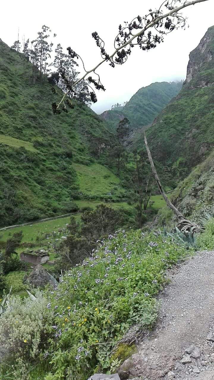
How to Get to Antankallo
The route to this waterfall is divided into 3 parts:
- First part: The first step is to take the buses to Chosica, popularly known as "chosicanos." It is preferable to board the bus at the stops of Paseo Colón, Vía Expresa Grau, and Óvalo Santa Anita. You should get off at Echenique Park.
- Second part: From the park, about 3 blocks away, there is a spot where buses depart to Matucana, which you should board.
- Third part: Once in the town of Matucana, you have to hike to reach Antankallo. The trail takes between 1 and a half to 2 hours, covering a total distance of 2.5 kilometers.
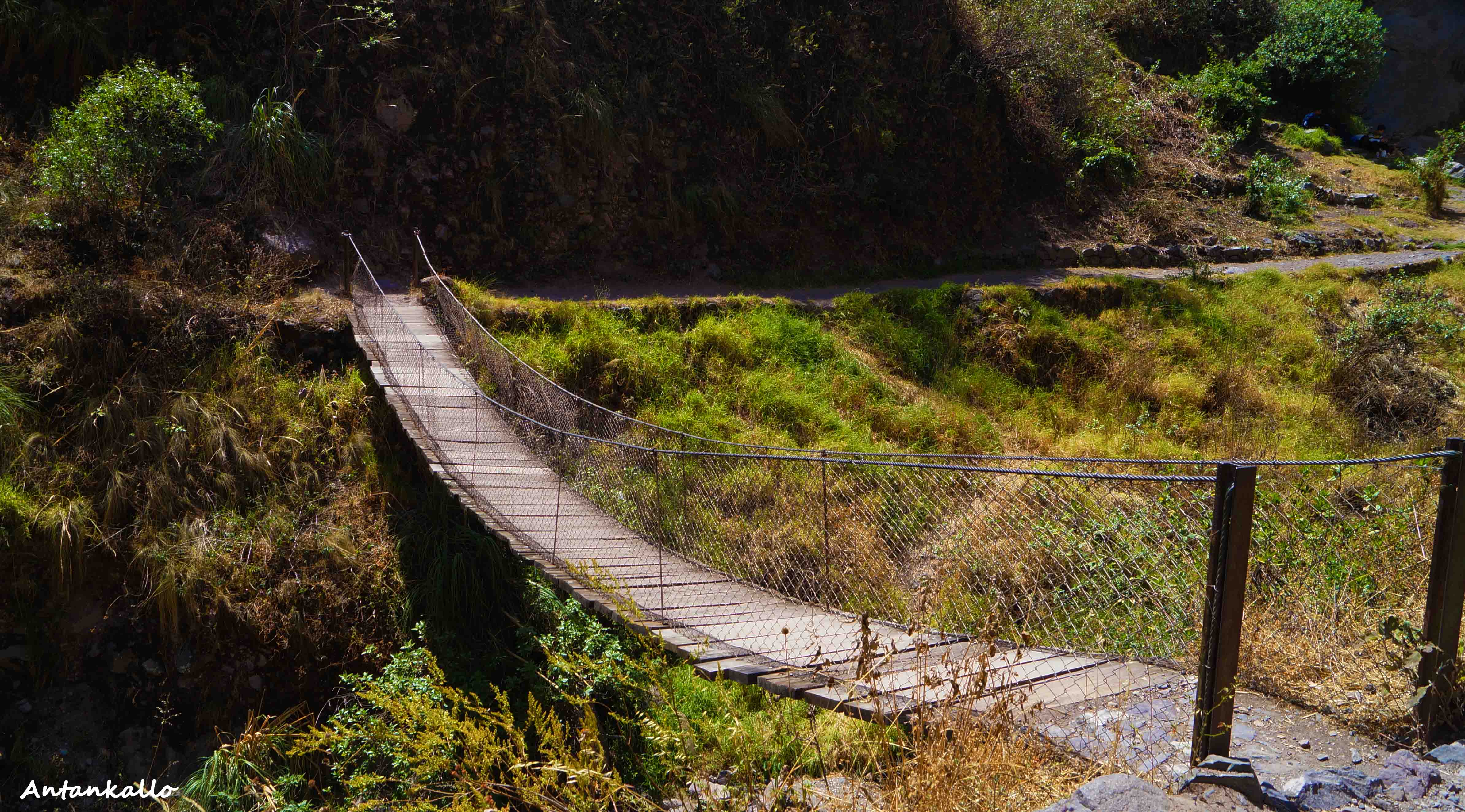
Photo: German Canchaya
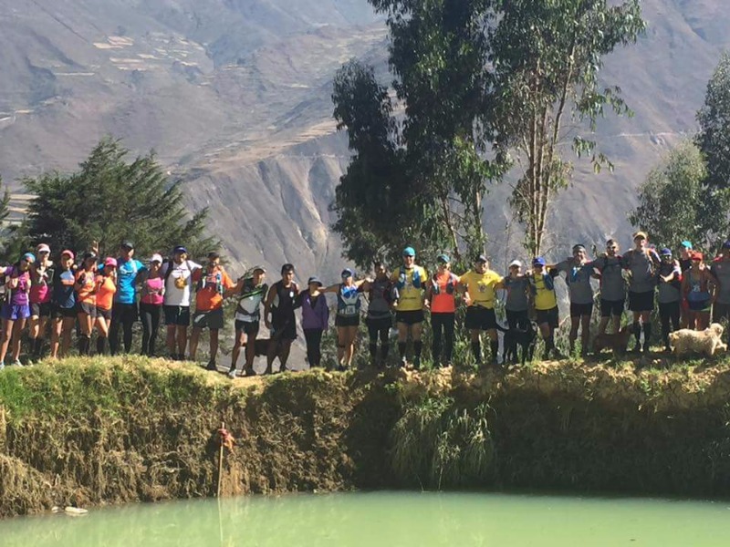
Adventure Sports
- Trekking
- Canyoning
Other Tourist Attractions near Antankallo
- Laguna Arca: Located in the highlands of the Matucana district, at 4650 meters above sea level. Its waters give life to the Enchanted Lagoon.
- Laguna Encantada: At 3500 meters above sea level, this lagoon is truly a water reserve that the villagers have developed for irrigation of their fields. It is not very common, but condors come here and it is also possible to see the Ticlio snow-capped mountains in the distance.
Video: Julio Antón Villacorta
Location and how to get to Antankallo
Antankallo is located in huarochirí, Lima.
Map
huarochirí, Lima
What adventure sports can you do in Antankallo?
Adventure activities in Antankallo
There are no activities registered for this destination at this time.
Explore All ActivitiesPhotos of Antankallo
📖 Adventure Stories
-
Antankallo Waterfall
Read adventure -
Adventure in Huanchacara
Read adventure -
Autisha Canyon
Read adventure -
Autisha Canyon
Read adventure -
Huanano Waterfall
Read adventure -
Trail Friends
Read adventure