Urubamba Valley
Description
The Urubamba Valley is one of the most productive in Peru, where the best corn in the world is harvested, and products such as peaches, capulí, quince, and top-quality strawberries can also be found.
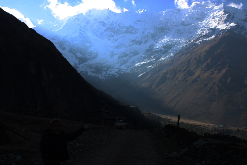
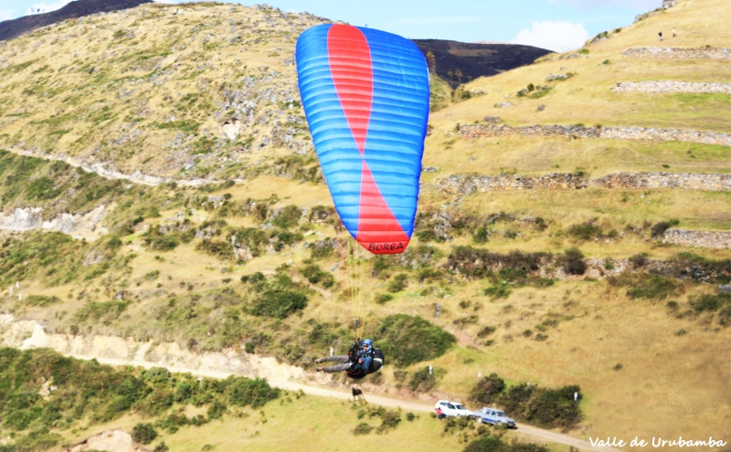
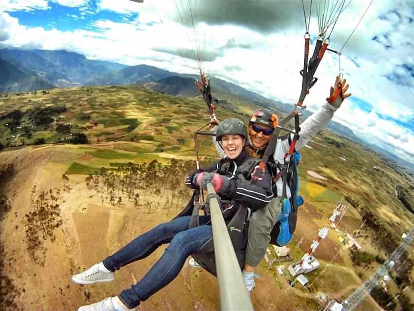
During the Inca period, this valley was known as the entrance to the jungle. Before that, it was inhabited by small curacazgos. The river that forms it was formerly known as Willka Mayu or River of the Sun, and the snow-capped mountain from which it originates was known as Willka Uta or House of the Sun. In addition to all this, the Urubamba Valley offers perfect conditions for paragliding.
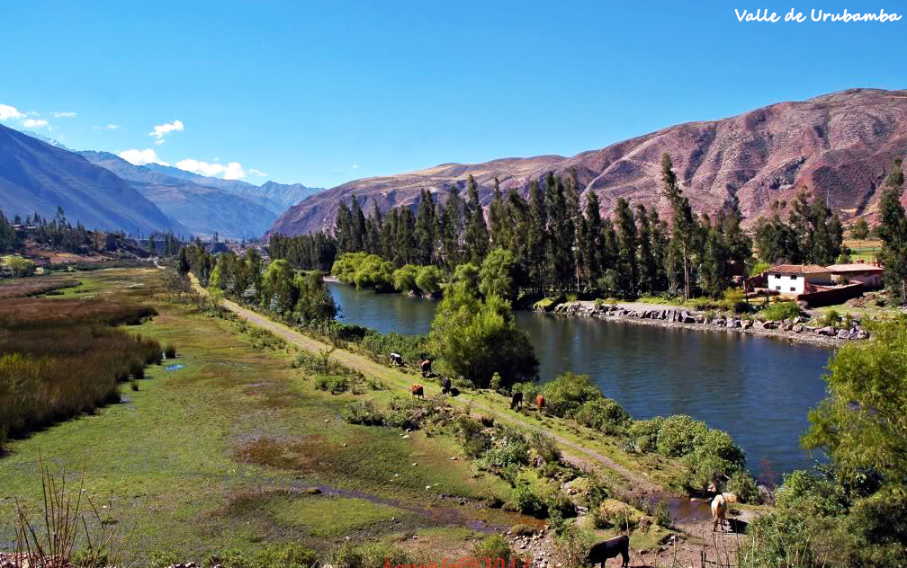
Photo: L.O.Boettner
Location
The valley is located in the province of Urubamba, in the department of Cusco.
Climate and Temperature
The area has a warm and semi-warm climate in some seasons, with maximum temperatures of 23°C and a minimum of 5°C.
Altitude
It has an altitude of 2,871 meters above sea level.
How to get to the Urubamba Valley
To reach Urubamba, there is a well-paved road that can be accessed by private vehicle, taxi, shared taxi, or bus. The journey takes about 1 hour and a half. From Cusco, there are two routes: via the north through Chinchero (Km 28) to Urubamba (Km 57), and another via the northeast through Pisac (32 km) to Calca (50 km) and then Urubamba.

Photo: Moe
Adventure Sports
- Paragliding
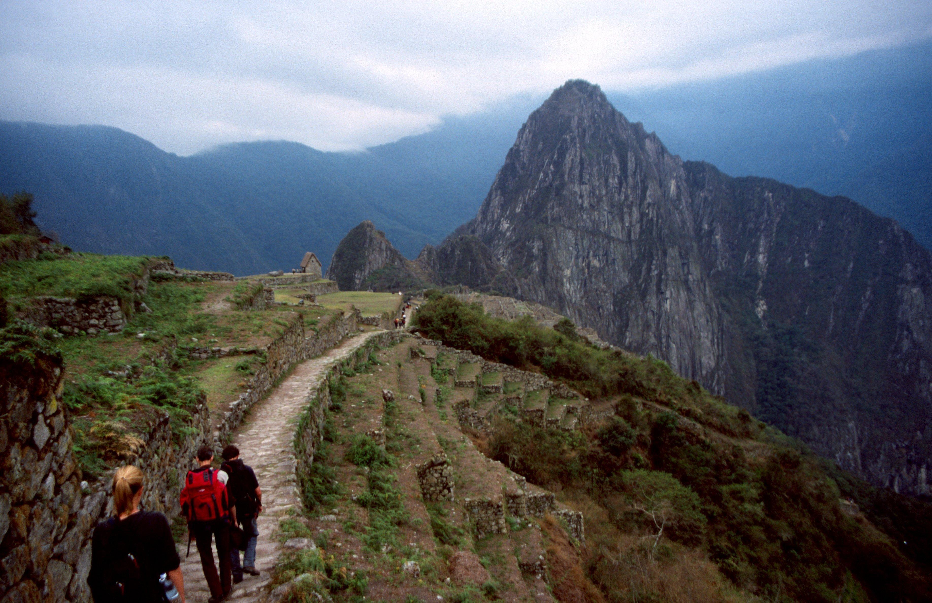
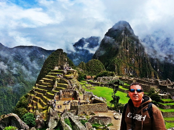
Sacred Valley of the Incas
This is the name given to the end of the great Urubamba Valley, between the towns of Pisac and Ollantaytambo. Since the Inca period, agricultural and livestock areas, as well as beautiful villages, have been concentrated here. The valley is mainly characterized by its very special conditions, such as optimal climate, very fertile lands, and the waters of the Vilcanota River, which, upon reaching the town of Urubamba, takes on that name.
Here, you can appreciate and witness the high technological development achieved by the Incas through their terrace systems, a set of terraced land used for cultivation on mountain slopes. Also noteworthy are the centers of worship to Pachamama or Mother Earth.
Video: Buen Viaje
Key Destination Data
Altitude
2870.50 m.s.n.m.
Best Season
Abril a Octubre (temporada seca)
Climate
Templado
Natural Region
Sierra
📍 Location
📍 Urubamba, Cusco
🛤️ Available Routes
🏃 Adventure Activities
Parapente en Chinchero - Cusco
Cusco & Camino Inca en 7 Días
📖 Adventure Stories
CUSCO IMPERIAL CITY
Read adventure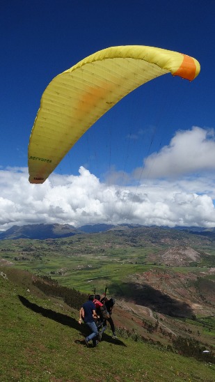
Flights in the Sacred Valley of the Incas
Read adventure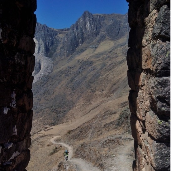
Cusco
Read adventure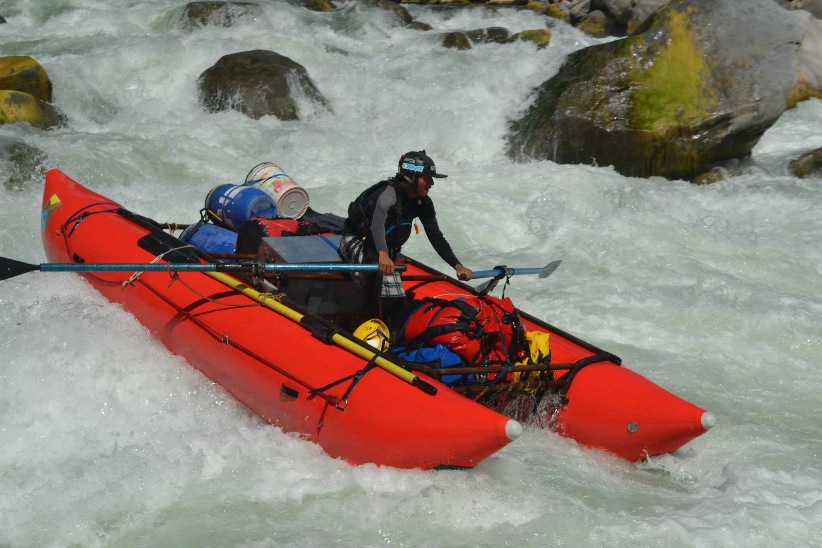
Pure Life
Read adventure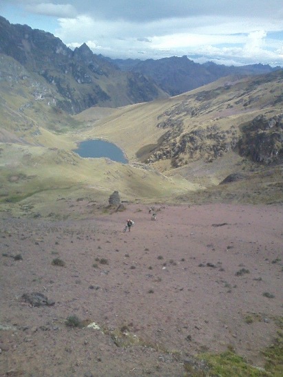
Enduro in Urubamba Mountain Range
Read adventure