Choquequirao: Adventure Sports and Tourism 2026
Choquequirao, also known as Choqequirau or Choquekiraw, is a citadel located on the path that leads to the city of Machu Picchu. It was popular for being known as the Golden Cradle of the Incas, as it stored the reserves of this highly coveted resource by the Spanish. Choquequirao has structures very similar to Machu P...

Key facts about Choquequirao
| Ubicación | La Convención , Cusco |
|---|---|
| Altitud | 3035.50 m.s.n.m. |
| Clima | Templado seco de montaña |
| Mejor época | Abril a Octubre (temporada seca) |
| Región natural | Sierra |
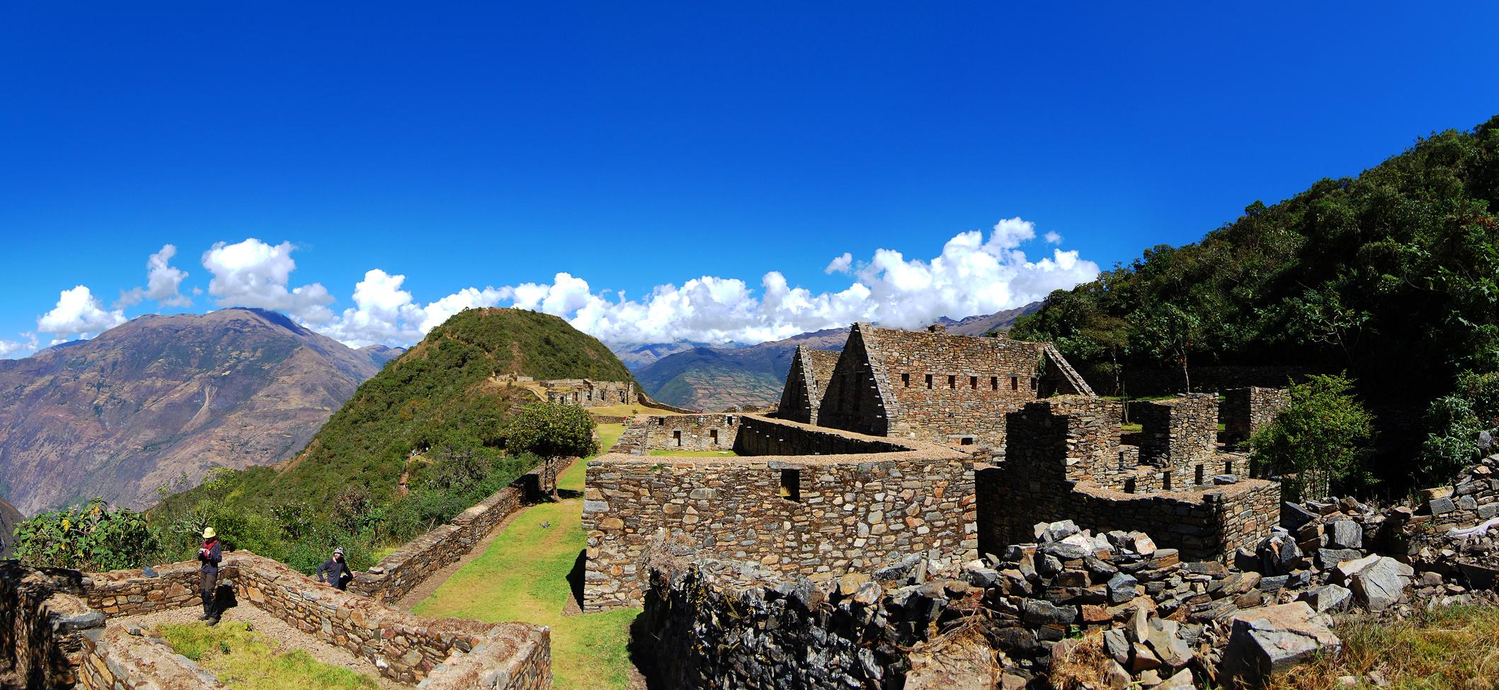
Choquequirao, also known as Choqequirau or Choquekiraw, is a citadel located on the path that leads to the city of Machu Picchu. It was popular for being known as the Golden Cradle of the Incas, as it stored the reserves of this highly coveted resource by the Spanish.
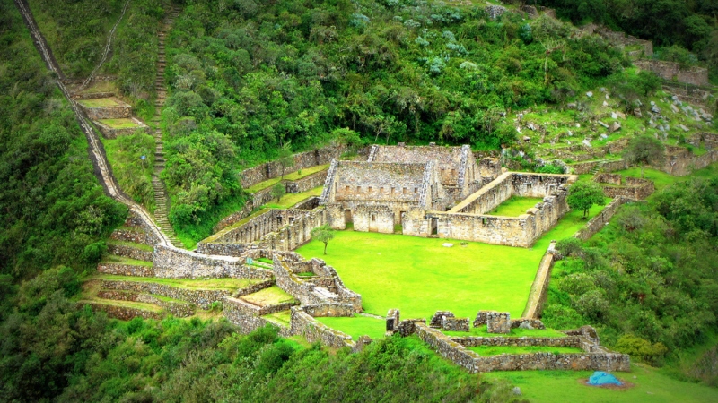
Choquequirao has structures very similar to Machu Picchu, with agricultural terraces, central plazas for gatherings, and also served as a bastion of resistance against the Spanish attacks. Due to all these characteristics and its importance, it is considered the "Sacred Sister".
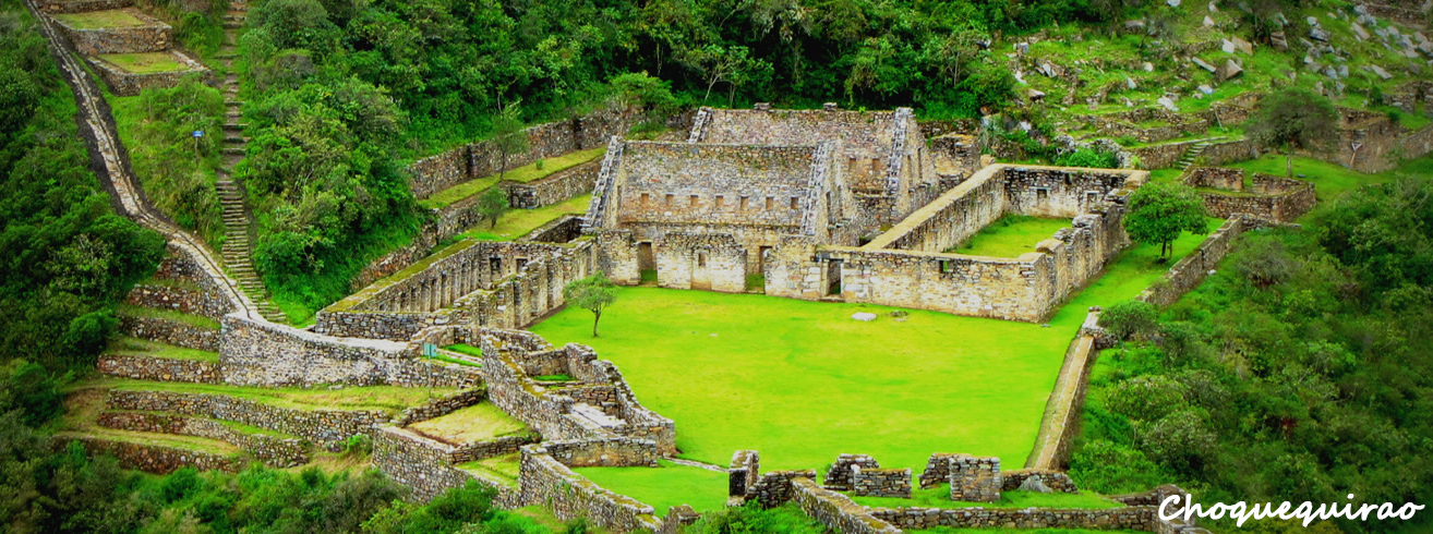
Photo: iletours
The site was discovered around 1768, but was not considered important at the time. It was mentioned by two Frenchmen between 1834 and 1847, but remained in the same situation. Hiram Bingham, the discoverer of Machu Picchu, highlighted the site's relevance during his expedition in 1911, but restoration work on the complex was not carried out until the 1970s.
It is believed that Choquequirao was built with the purpose of controlling access to Vilcabamba and serving as an administrative center. According to legend, what also makes the site important is that it is said to have served as a refuge for the Inca people after the Spanish invasion. This archaeological complex covers an area of 2 hectares.
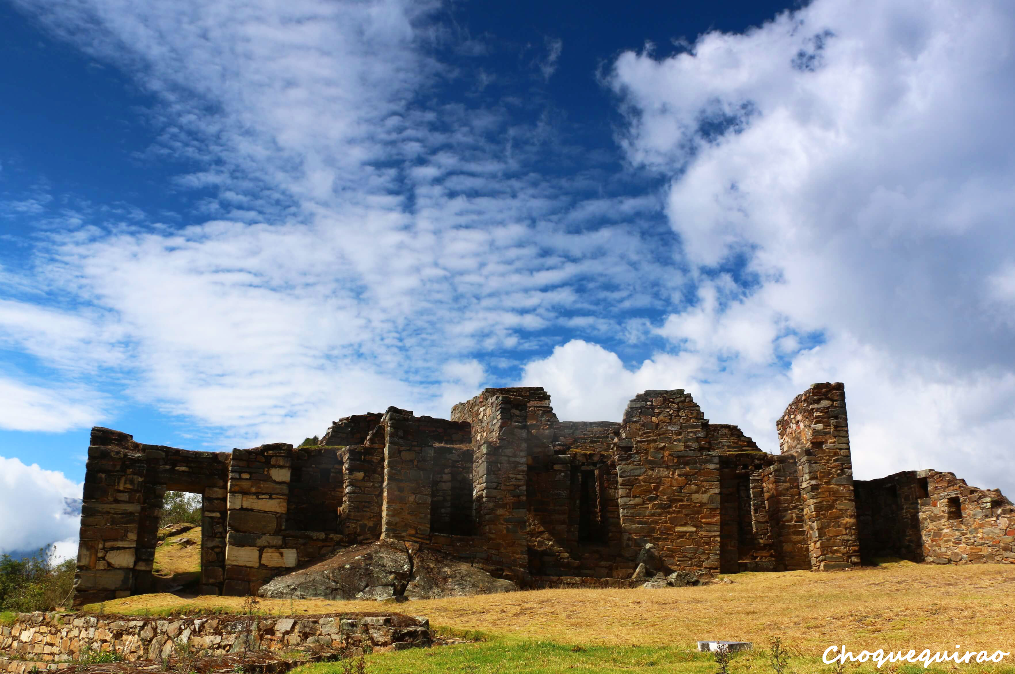
Photo: ayni-peru.com
Location
It is located in the Vilcabamba Valley, in the district of Santa Teresa, in the province of La Convención within the department of Cusco.
Climate and Temperature
There are two distinct climates, warm due to the proximity to the Apurímac Canyon, and cold temperatures. It has an average annual maximum temperature of 16°C and a minimum of 6°C.
Altitude
Choquequirao sits at an altitude of 3035 meters above sea level.
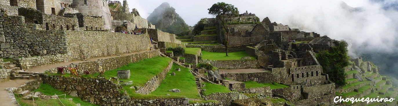
Photo: letsgochoquequirao
How to get to Choquequirao
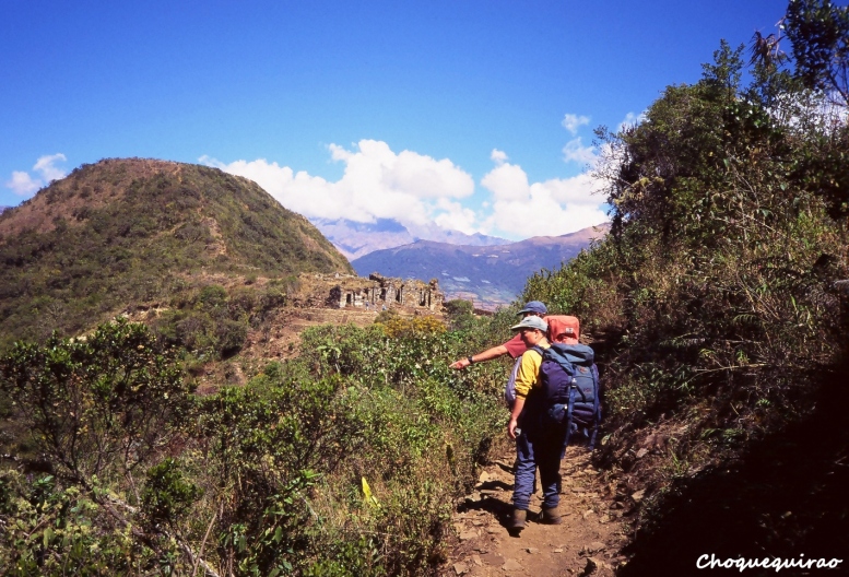
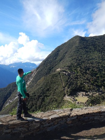
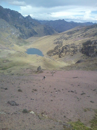
From the town of Cachora: We depart from the city of Cusco towards Cachora, a town located at 2910 meters above sea level. Then we continue the journey until we reach the pass of Waywaqalli at 3800m, then cross the Apurímac River where the descent is a bit exhausting due to the heat. After two hours of walking, we arrive at Santa Rosa where we will set up our camp. The next day we will hike up to the town of Moranpata, which is finally located 1 hour and a half from Choquequirao.
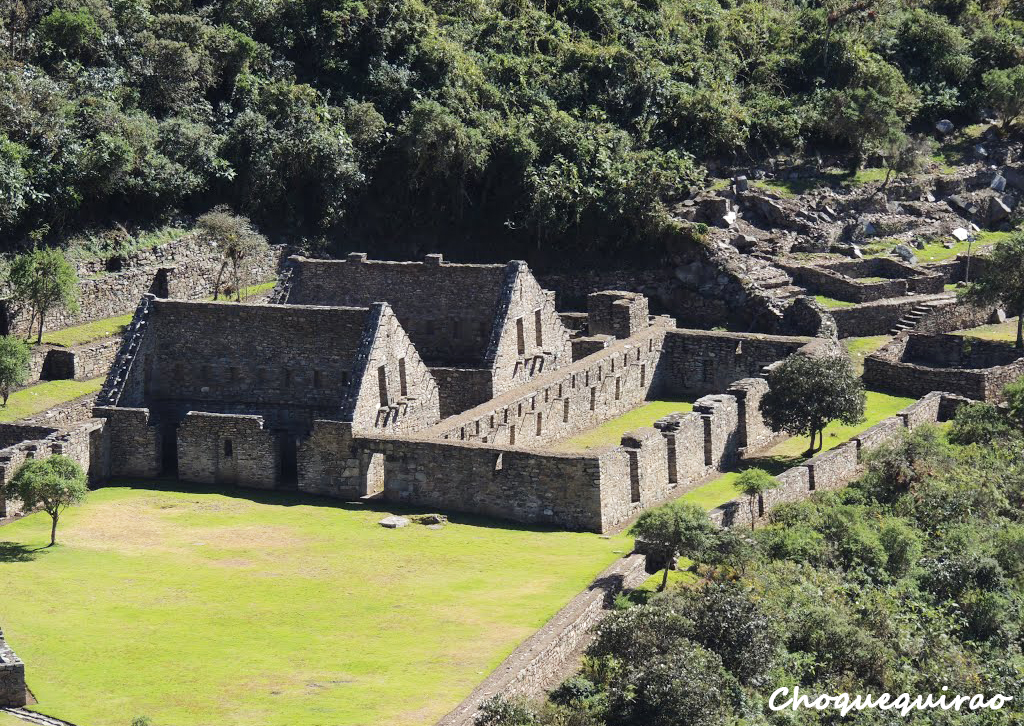
Photo: mono andes
Adventure Sports
-
Trekking
Tourist Attractions on the way to Choquequirao
From Cusco to Cachora:
- Pampa de Anta (known for its stone walls).
- Cconoc Hot Springs (waters with medicinal properties).
- Archaeological Complex of Saywite (monolith "Model of Tahuantinsuyo").
From Cachora to Choquequirao:
- Capulilloc Pass (viewpoint at 3,010 meters above sea level).
- Cocamasama (viewpoint at 2,010 meters above sea level).
- Chiquisca (rest area).
- Rosalina Beach (on the banks of the Apurímac River).
Video: perusensacional
Location and how to get to Choquequirao
Choquequirao is located in La Convención , Cusco.
Map
La Convención , Cusco
What adventure sports can you do in Choquequirao?
Adventure activities in Choquequirao
Photos of Choquequirao
📖 Adventure Stories
-
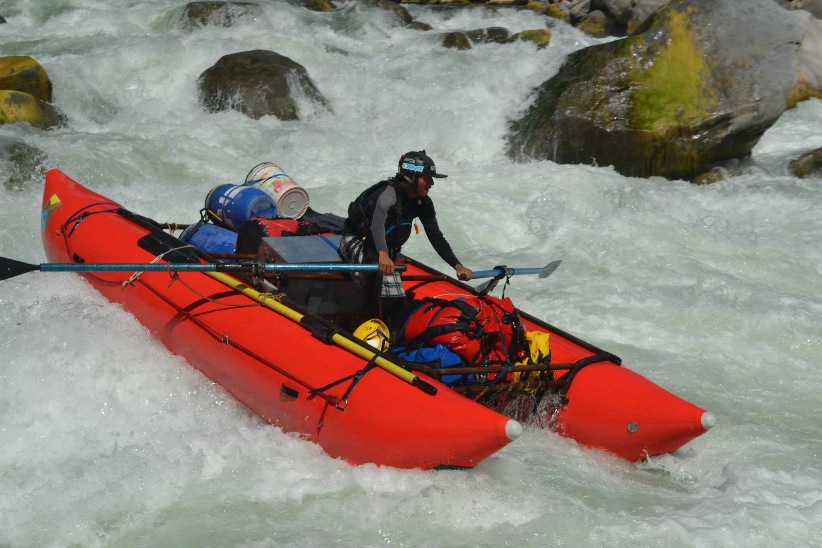
Cachora Choquequirao Trekking
Read adventure -
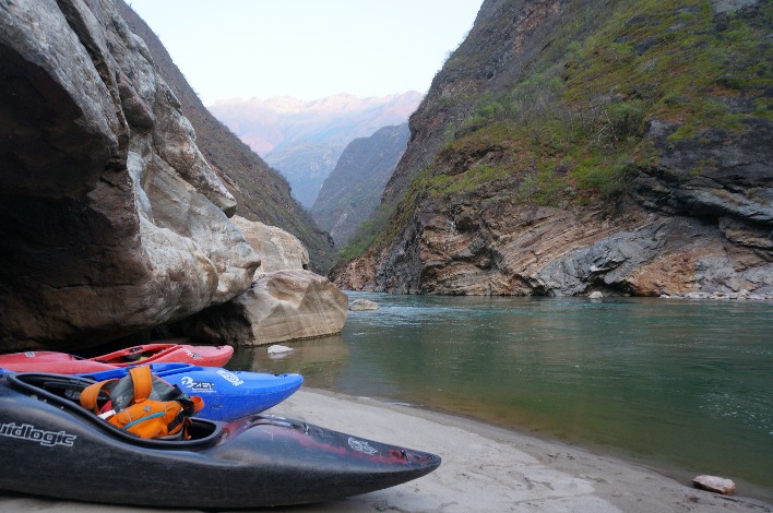
Abyss of Apurimac River Canyon
Read adventure -
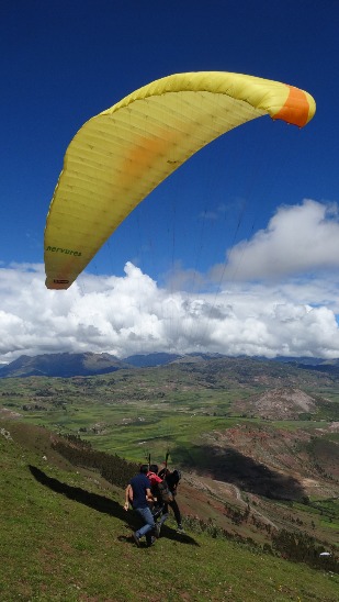
Flights in the Sacred Valley of the Incas
Read adventure -
Cusco
Read adventure -
Pure Life
Read adventure -
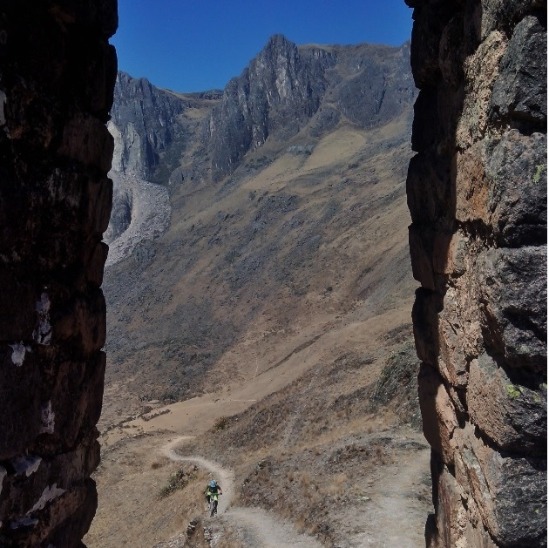
Enduro in Urubamba Mountain Range
Read adventure