White Mountain Range: Adventure Sports and Tourism 2026
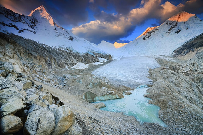
The Cordillera Blanca is a chain of snow-capped mountains located in the department of Áncash, together with the Cordillera Negra forming what is known as the Callejón de Huaylas through which the Santa River flows. Its highest peak is the Nevado Huascarán at 6768 meters above sea level.It extends from South to North a...
Key facts about White Mountain Range
| Ubicación | Parque Nacional Huascarán, Ancash |
|---|---|
| Altitud | 6768.00 m.s.n.m. |
| Clima | Frío de alta montaña |
| Mejor época | Mayo a Septiembre (temporada seca) |
| Región natural | Sierra |
The Cordillera Blanca is a chain of snow-capped mountains located in the department of Áncash, together with the Cordillera Negra forming what is known as the Callejón de Huaylas through which the Santa River flows. Its highest peak is the Nevado Huascarán at 6768 meters above sea level.
It extends from South to North and covers a distance of 180km crossing the Department of Ancash, from Conococha to Pelagatos. It is named "Blanca" due to the quantity of snow-capped peaks that characterize it and the contrast it holds in relation to the Cordillera Negra, which runs parallel to it, almost 50km away.
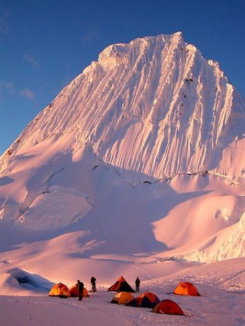
The Cordillera Blanca is very attractive to visitors from all over the world, as it is home to the highest mountains in Peru and boasts 35 snow-capped peaks exceeding 6000 meters above sea level. Thanks to this, Ancash is the ideal place for adventure sports.
Main snow-capped peaks and lakes in the Cordillera Blanca
Snow-capped peaks:
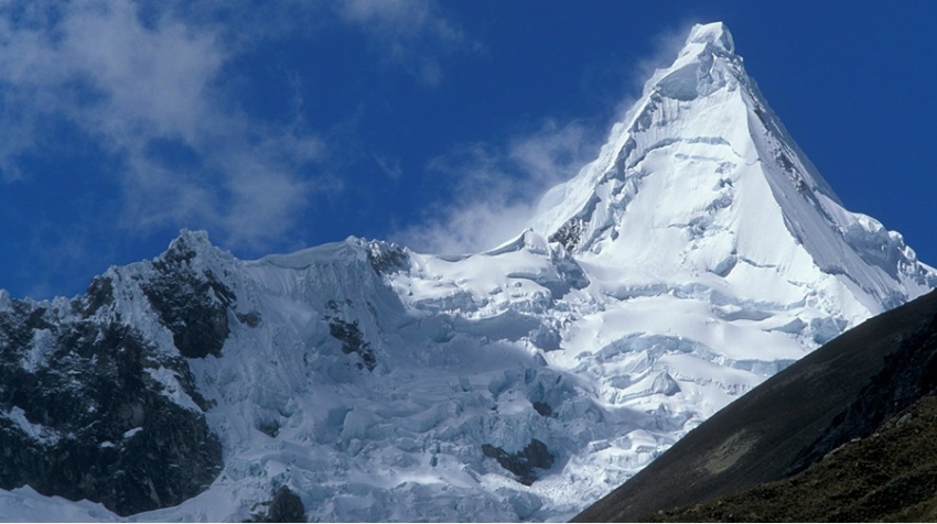
- Huascarán 6,746 meters above sea level - 22,132 feet,
- Chopicalqui 6,400 meters above sea level - 20,997 feet
- Huautsan 6,395 meters above sea level - 20,981 feet
- Tunsho 6,369 meters above sea level - 20,896 feet
- Huandoy, 6,356 meters above sea level - 20,853 feet
- Rutichinchay 6,309 meters above sea level - 20,699 feet
- Taulliraju 6,300 meters above sea level - 20,669 feet
- Copa 6,270 meters above sea level - 20,571 feet
- Alpamayo 6,120 meters above sea level - 20,079 feet
- Pastoruri 5,025 meters above sea level
- Querococha 3,990 meters above sea level
- Pelagatos 3,990 meters above sea level
- Parón 4,190 meters above sea level
- Llanganuco 3,820 meters above sea level
- Conococha 3,945 meters above sea level
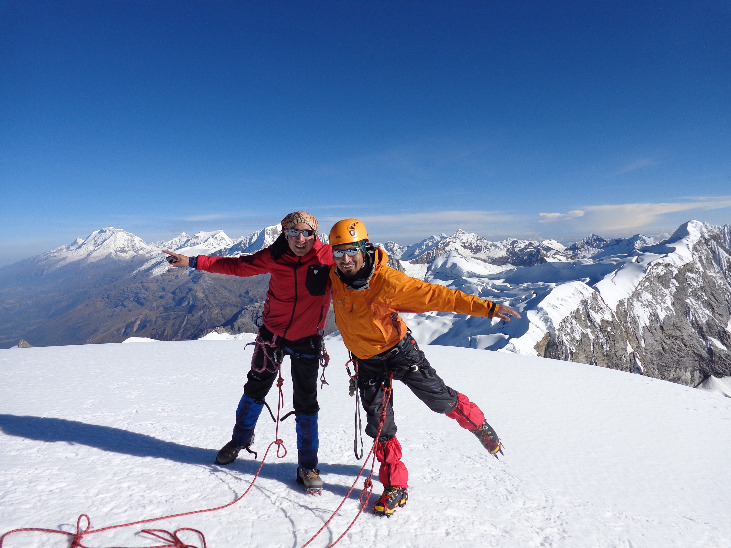
Adventure Sports in the Cordillera Blanca
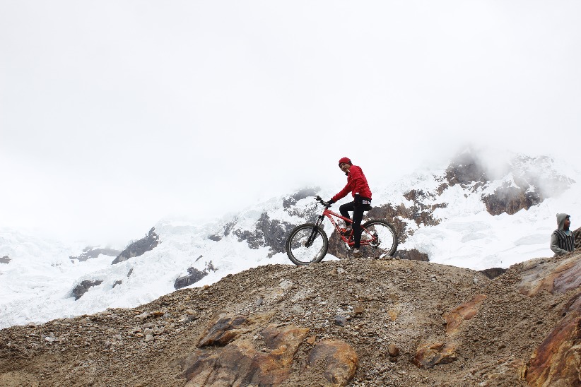
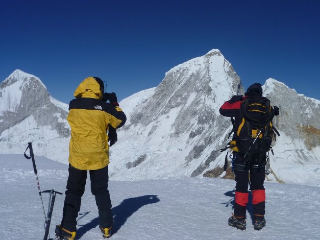
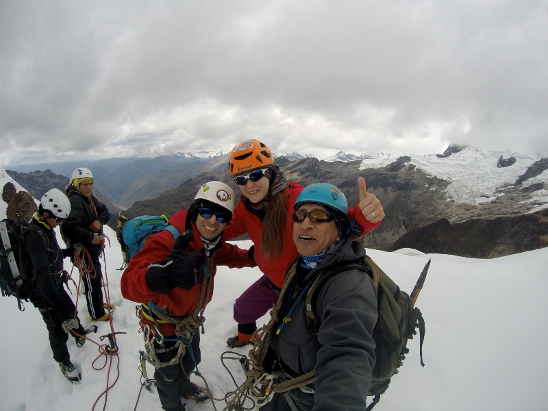
It is a paradise for adventure sports enthusiasts, as here you can practice mountaineering and trekking between the months of May to September; snowboarding, high mountain skiing.
How to get to the Cordillera Blanca
We can start from Lima on the Pan-American Highway North to the Pativilca route, continue eastward to enter the Andean region of Peru, precisely to Conococha, where the Santa River originates, then follow parallel to the river, through the center of the valley until reaching Huaraz, the capital of Ancash, where the region's main tourist activities take place. In reality, the Cordillera Blanca starts from Conococha, south of Ancash.
Climate in the Cordillera Blanca
There are two types of climates: Dry winter (May - September) and rainy summer (October - April).
Altitude: Maximum 6768 meters above sea level Temperatures: -15°C to 20°C
Location and how to get to White Mountain Range
White Mountain Range is located in Parque Nacional Huascarán, Ancash.
Map
Parque Nacional Huascarán, Ancash
What adventure sports can you do in White Mountain Range?
Adventure activities in White Mountain Range
Photos of White Mountain Range
📖 Adventure Stories
-
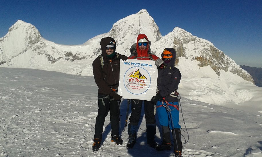
PISCO SUMMIT 5752 M
Read adventure -
Vallunaraju Expedition
Read adventure -
Exploring the White Mountain Range of Peru
Read adventure -
Alpamayo Climbing White Mountain Range
Read adventure -
Climbing the White Mountain Range in Peru
Read adventure -
Summit Nevado Mateo 5150 meters above sea level
Read adventure